Sites and Monuments Record · Ireland
Graveslab
Nenagh North, County Tipperary North, Ireland
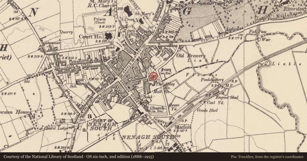
The record
- Townland
- Nenagh North
- County
- Tipperary North
- Country
- Ireland
- First-edition OS map
- Not indicated
- Latest-edition OS map
- Not indicated
- Coordinates
- 52.86292, -8.19658
- SMR number
- TN020-037014-
Slide toward Today to fade the historical sheet and see the modern map underneath.
David Rumsey Map Collection, Stanford LibrariesDavid Rumsey Map Collection, Stanford LibrariesDavid Rumsey Map Collection, Stanford LibrariesDavid Rumsey Map Collection, Stanford Libraries
4 historical maps cover this location, the earliest the 1790 map "Composite: Ireland." (David Rumsey Map Collection, Stanford Libraries).
Historical maps covering this location
- 1790 · Composite: Ireland. (David Rumsey Map Collection, Stanford Libraries)
- 1811 · Ireland. (David Rumsey Map Collection, Stanford Libraries)
- 1869 · Ireland. (David Rumsey Map Collection, Stanford Libraries)
- 1891 · Ireland 16 (David Rumsey Map Collection, Stanford Libraries)
This record in the National Monuments Service's Historic Environment Viewer ↗
The National Monuments Service's description
Within the Franciscan friary (TN020-037002-) which is in the SE sector of the town of Nenagh. Two fragments, which appear to be from the same limestone graveslab, are lying within friary church, near the E end of the S wall. One fragment, badly cracked, is from the upper portion of the graveslab (Wth 0.61m; D 0.155m), which tapers slightly. It is decorated with a raised floriated cross-head (0.49m x 0.45m). The other fragment (L 0.89m; Wth c. 0.4m; D 0.15m) consists of the dexter side of the graveslab and is decorated with a raised cross-shaft and knop. The sinister side as well as the lower portion of the graveslab are missing.
See attached photograph:
TN020-037014-_01
Compiled by: Jean Farrelly
Date of upload: 29 August 2022
Nearby in the register
- Religious house - Franciscan friarsunder 1 mi
- Graveslabunder 1 mi
- Graveslabunder 1 mi
- Tomb - effigialunder 1 mi
Other entries of the same register within about three miles of this one, by straight line.