Sites and Monuments Record · Ireland
Inscribed slab
Monaincha, County Tipperary North, Ireland
The record
- Townland
- Monaincha
- County
- Tipperary North
- Country
- Ireland
- First-edition OS map
- NULL
- Latest-edition OS map
- NULL
- Coordinates
- 52.94632, -7.74795
- SMR number
- TN018-001014-
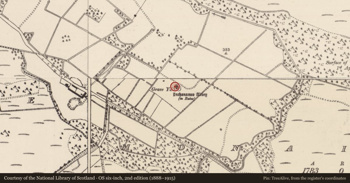
Slide toward Today to fade the historical sheet and see the modern map underneath.
David Rumsey Map Collection, Stanford LibrariesDavid Rumsey Map Collection, Stanford LibrariesDavid Rumsey Map Collection, Stanford LibrariesDavid Rumsey Map Collection, Stanford Libraries
4 historical maps cover this location, the earliest the 1790 map "Composite: Ireland." (David Rumsey Map Collection, Stanford Libraries).
Historical maps covering this location
- 1790 · Composite: Ireland. (David Rumsey Map Collection, Stanford Libraries)
- 1811 · Ireland. (David Rumsey Map Collection, Stanford Libraries)
- 1869 · Ireland. (David Rumsey Map Collection, Stanford Libraries)
- 1891 · Ireland 16 (David Rumsey Map Collection, Stanford Libraries)
This record in the National Monuments Service's Historic Environment Viewer ↗
The National Monuments Service's description
Listed by Okasha & Forsyth as Monaincha 5 who state that the slab of old red sandstone measuring 0.445m x 0.58m x 0.04m,`was first recorded in 1964 when it was in the NMI. A file record sheet, FILE IA/192/64 was then made by the museum, and the three fragments were photographed. The file record states that the fragments had been found `in various places in the early church site of ... Monaincha' and were mounted on the wall of the church (TN018-001001) at Monaincha. In October 1964 the fragments were removed from the Museum by the OPW and by 1983 were in the depot in Kilkenny where they remain' (Okasha & Forsyth 2001, 209). The inscribed slab reads [--][.]C~S~ AE[.][-- which can be expanded to [--] SANCTUS AE[.][--] (Okasha & Forsyth 2001, 209). According to Okasha & Forsyth `The letters CS are an abbreviation, or part of an abbreviation, perhaps [s]c~s~, the standard abbreviation of s(an)c(tu)s `saint', found in the genitive case s~c~i~ on a slab from Kilbrecan, Aran Mór [Macalister 1949, no. 531, KBRCN/1]' (Okasha & Forsyth 2001, 210). This slab is now on display in the Black Mills Interpretative Centre at Roscrea (TN012-010016), but originally came from the vicinity of the Romanesque church at Monaincha.
Compiled by: Caimin O'Brien.
Date of upload: 22 September 2008
Nearby in the register
- Cross-slabunder 1 mi
- Cross - High crossunder 1 mi
- Inscribed slabunder 1 mi
- Inscribed slabunder 1 mi
Other entries of the same register within about three miles of this one, by straight line.