Sites and Monuments Record · Ireland
Penitential station
Achonry, County Sligo, Ireland
The record
- Townland
- Achonry
- County
- Sligo
- Country
- Ireland
- First-edition OS map
- Not indicated
- Latest-edition OS map
- Not indicated
- Coordinates
- 54.07720, -8.65277
- SMR number
- SL032-188007-
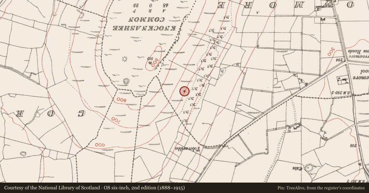
Slide toward Today to fade the historical sheet and see the modern map underneath.
David Rumsey Map Collection, Stanford LibrariesDavid Rumsey Map Collection, Stanford LibrariesDavid Rumsey Map Collection, Stanford LibrariesDavid Rumsey Map Collection, Stanford Libraries
4 historical maps cover this location, the earliest the 1790 map "Composite: Ireland." (David Rumsey Map Collection, Stanford Libraries).
Historical maps covering this location
- 1790 · Composite: Ireland. (David Rumsey Map Collection, Stanford Libraries)
- 1841 · Ireland. (David Rumsey Map Collection, Stanford Libraries)
- 1869 · Ireland. (David Rumsey Map Collection, Stanford Libraries)
- 1891 · Ireland 16 (David Rumsey Map Collection, Stanford Libraries)
This record in the National Monuments Service's Historic Environment Viewer ↗
The National Monuments Service's description
On a NE-facing slope, in the S corner of a field, and on the S side of Toberfinane holy well (SL032-188006-). A field boundary curves NE-NW around the cairn. The cairn consists of a low circular almost entirely sod-covered mound of stones (4.5m N-S; 4.5m E-W; H 0.4m at S; 1.4m at N just above the well). On top of it is a small square flat-topped structure (1.2m NW-SE; 1.2m NE-SW; H 0.3m at SW; 0.75m at NE) of drystone construction. It is built up on the NE side to compensate for the sloping ground. Erected on top of the structure is a modern 'Celtic' cross, painted white, and in front of the cross, a horizontal slab which provides a flat table-like surface. The structure appears to serve as an altar (SL032-188010-). According to local information, the traditional pattern day, which is still observed, is held on the 15th of August. O'Rorke (1878, 417) stated that the 'great pile of stones' next to 'Tubber-Finneen' were 'deposited one after another by the crowds of devotees that used to frequent the place to invoke the intercession of that saint'.
The above description is derived from the published 'Archaeological Inventory of County Sligo' compiled by Ursula Egan, Elizabeth Byrne, Mary Sleeman with Sheila Ronan and Connie Murphy (Dublin Stationery Office, 2005).
Date of upload: 18 January 2008
Nearby in the register
- Altarunder 1 mi
- Ritual site - holy wellunder 1 mi
- Field systemunder 1 mi
- Cross-slabunder 1 mi
Other entries of the same register within about three miles of this one, by straight line.