Sites and Monuments Record · Ireland
Megalithic tomb - passage tomb
Knocknashee Common, County Sligo, Ireland
The record
- Townland
- Knocknashee Common
- County
- Sligo
- Country
- Ireland
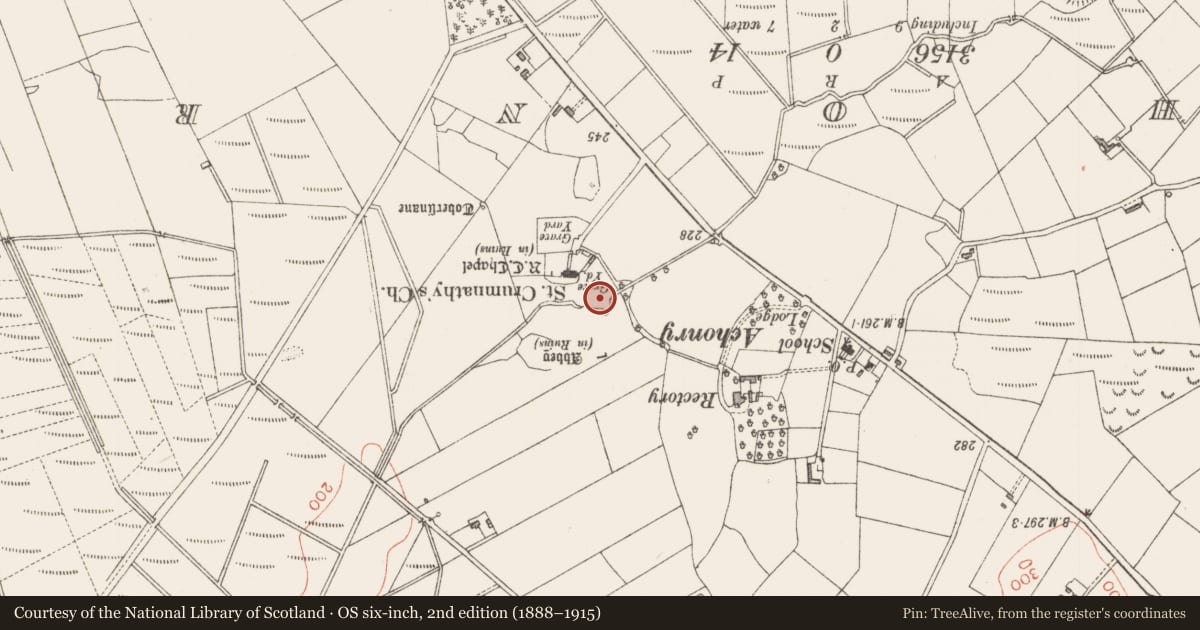
- Latest-edition OS map
- Indicated
- Coordinates
- 54.11989, -8.67899
- SMR number
- SL032-013002-
Slide toward Today to fade the historical sheet and see the modern map underneath.
David Rumsey Map Collection, Stanford LibrariesDavid Rumsey Map Collection, Stanford LibrariesDavid Rumsey Map Collection, Stanford LibrariesDavid Rumsey Map Collection, Stanford Libraries
4 historical maps cover this location, the earliest the 1790 map "Composite: Ireland." (David Rumsey Map Collection, Stanford Libraries).
Historical maps covering this location
- 1790 · Composite: Ireland. (David Rumsey Map Collection, Stanford Libraries)
- 1841 · Ireland. (David Rumsey Map Collection, Stanford Libraries)
- 1869 · Ireland. (David Rumsey Map Collection, Stanford Libraries)
- 1891 · Ireland 16 (David Rumsey Map Collection, Stanford Libraries)
This record in the National Monuments Service's Historic Environment Viewer ↗
The National Monuments Service's description
Close to the N end of flat-topped Knocknashee Mountain, commanding an extensive outlook and within a hillfort (SL032-013001-). This is a circular, flat-topped cairn (diam. 28m; H c. 2.5m) at or about the centre of which a roofed chamber (L 1.7m N-S; Wth 1.15m E-W; H 1.1m) is exposed. Single stones form the sides and ends of the chamber, a single slab serves as a floorstone and a single large slab roofs the structure. A piece has been broken from the top of the N end-stone and the resultant gap now permits access to the chamber. A rough wall has been built along the eastern side of the flat top of the cairn. This possible passage tomb lies at the N limit of the possible Neolithic settlement (SL032-013004-). Another possible passage tomb (SL032-013003-) lies c. 120m to NE.
The above description is derived from the published 'Archaeological Inventory of County Sligo' compiled by Ursula Egan, Elizabeth Byrne, Mary Sleeman with Sheila Ronan and Connie Murphy (Dublin Stationery Office, 2005).
Attached image:
SL032-013002_01.JPG Viewed from NW
Date of upload: 18 January 2008
Nearby in the register
- Megalithic tomb - passage tombunder 1 mi
- Enclosureunder 1 mi
- Hillfortunder 1 mi
- Enclosureunder 1 mi
Other entries of the same register within about three miles of this one, by straight line.