Sites and Monuments Record · Ireland
Megalithic tomb - court tomb
Cloondrihara, County Sligo, Ireland
The record
- Townland
- Cloondrihara
- County
- Sligo
- Country
- Ireland
- First-edition OS map
- Not indicated
- Latest-edition OS map
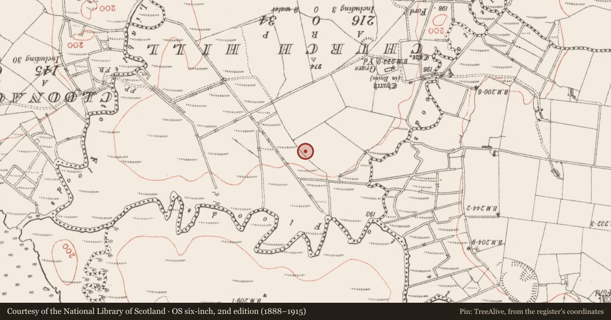
- Giants Grave
- Coordinates
- 54.12172, -8.72147
- SMR number
- SL032-005----
Slide toward Today to fade the historical sheet and see the modern map underneath.
David Rumsey Map Collection, Stanford LibrariesDavid Rumsey Map Collection, Stanford LibrariesDavid Rumsey Map Collection, Stanford LibrariesDavid Rumsey Map Collection, Stanford Libraries
4 historical maps cover this location, the earliest the 1790 map "Composite: Ireland." (David Rumsey Map Collection, Stanford Libraries).
Historical maps covering this location
- 1790 · Composite: Ireland. (David Rumsey Map Collection, Stanford Libraries)
- 1869 · Ireland. (David Rumsey Map Collection, Stanford Libraries)
- 1891 · Ireland 16 (David Rumsey Map Collection, Stanford Libraries)
- 1904 · Sheet 4. (David Rumsey Map Collection, Stanford Libraries)
This record in the National Monuments Service's Historic Environment Viewer ↗
The National Monuments Service's description
On level pasture S of the Ox Mountains. The monument is very ruined and difficult to interpret. A fence extends along its N side. A chamber (L 2.7m) opening to the NW seems to be the rear of a gallery. Two jambs and an intervening sillstone mark the front of the chamber. One stone is in place on its more southerly side and a prostrate stone at the opposite side may be a fallen orthostat. A large inward-leaning stone forms the back of the chamber. A considerable number of stones extend for some 8m forward of the chamber. Most of these do not appear to be in situ but two of them, both tall stones now leaning, and c. 2m apart, stand more or less opposite each other about 4m from the front of the chamber. There are some traces of mound at this end of the structure. (Ó Nualláin 1989, 61, no. 97)
The above description is derived from the published 'Archaeological Inventory of County Sligo' compiled by Ursula Egan, Elizabeth Byrne, Mary Sleeman with Sheila Ronan and Connie Murphy (Dublin Stationery Office, 2005).
Date of upload: 18 January 2008
See linked document with details from Seán Ó Nualláin, Survey of the Megalithic Tombs of Ireland. Volume V. County Sligo. (Dublin: Stationery Office, 1989)
Nearby in the register
- Ringfort - rathunder 1 mi
- Souterrainunder 1 mi
- Milling complexunder 1 mi
- Souterrainunder 1 mi
Other entries of the same register within about three miles of this one, by straight line.