Sites and Monuments Record · Ireland
Church
Kilmacowen, County Sligo, Ireland
The record
- Townland
- Kilmacowen
- County
- Sligo
- Country
- Ireland
- First-edition OS map
- Church
- Latest-edition OS map
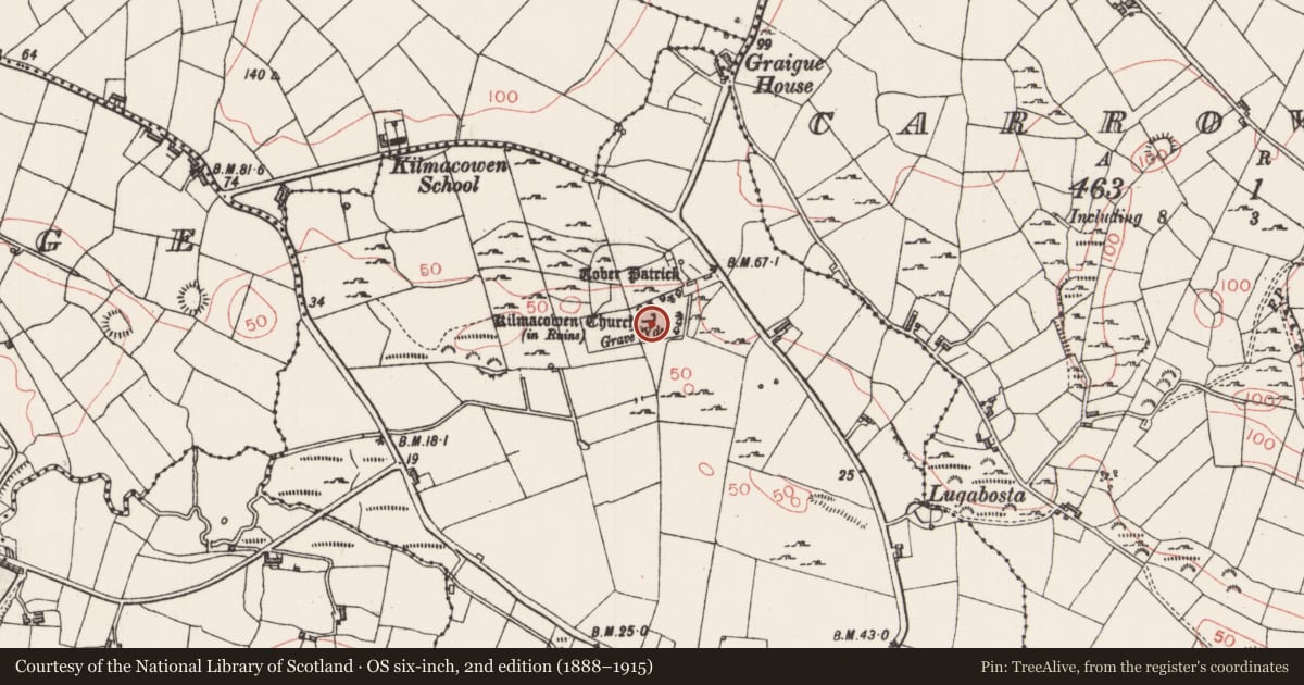
- Kilmacowen Church (in Ruins)
- Coordinates
- 54.23221, -8.51903
- SMR number
- SL020-054001-
Slide toward Today to fade the historical sheet and see the modern map underneath.
David Rumsey Map Collection, Stanford LibrariesDavid Rumsey Map Collection, Stanford LibrariesDavid Rumsey Map Collection, Stanford LibrariesDavid Rumsey Map Collection, Stanford Libraries
4 historical maps cover this location, the earliest the 1790 map "Composite: Ireland." (David Rumsey Map Collection, Stanford Libraries).
Historical maps covering this location
- 1790 · Composite: Ireland. (David Rumsey Map Collection, Stanford Libraries)
- 1869 · Ireland. (David Rumsey Map Collection, Stanford Libraries)
- 1891 · Ireland 16 (David Rumsey Map Collection, Stanford Libraries)
- 1904 · Sheet 4. (David Rumsey Map Collection, Stanford Libraries)
This record in the National Monuments Service's Historic Environment Viewer ↗
The National Monuments Service's description
Located in the W half of a graveyard (SL020-054002-). Comprises a ruined rectangular church (int. L 21m, int. W 7m) constructed of split stone rubble masonry with extensive use of pinnings. A short section of the N wall survives at the NE angle. The E gable is intact and has a pointed light of sandstone set in an embrasure with a segmented rear arch which has the negative remains of wattles in the plaster on its underside. There is a recess or aumbry at ground level towards the S end of E gable. Projecting from the exterior face of the gable, adjacent to the window, is a carved sandstone human head (max. dim. c. 15cm). The facial features are greatly eroded. The S wall has an embrasure with a partly destroyed light near the E end, with a square recess or aumbry beneath it. There is a large break in the middle of the S wall. A hint of an inward splay at the edge of the break suggests that there was a second window embrasure here. Towards the W end of the wall there is a blocked-up doorway with a pointed arch. The W gable is missing.
Compiled by : Geraldine Stout
Date of upload: 14 August 2013
Nearby in the register
- Cross-slabunder 1 mi
- Graveyardunder 1 mi
- Earthworkunder 1 mi
- Ritual site - holy/saint's stoneunder 1 mi
Other entries of the same register within about three miles of this one, by straight line.