Sites and Monuments Record · Ireland
Decorated stone
Carrowculleen, County Sligo, Ireland
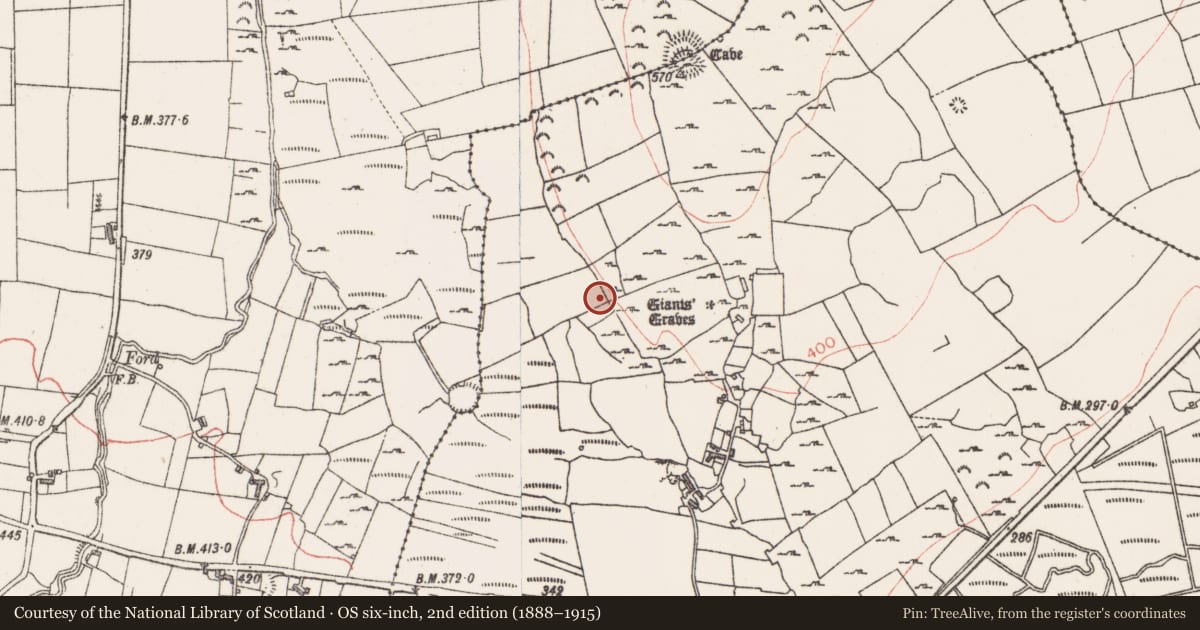
The record
- Townland
- Carrowculleen
- County
- Sligo
- Country
- Ireland
- First-edition OS map
- Not indicated
- Latest-edition OS map
- Not indicated
- Coordinates
- 54.22179, -8.74089
- SMR number
- SL019-256----
Slide toward Today to fade the historical sheet and see the modern map underneath.
David Rumsey Map Collection, Stanford LibrariesDavid Rumsey Map Collection, Stanford LibrariesDavid Rumsey Map Collection, Stanford LibrariesDavid Rumsey Map Collection, Stanford Libraries
4 historical maps cover this location, the earliest the 1790 map "Composite: Ireland." (David Rumsey Map Collection, Stanford Libraries).
Historical maps covering this location
- 1790 · Composite: Ireland. (David Rumsey Map Collection, Stanford Libraries)
- 1869 · Ireland. (David Rumsey Map Collection, Stanford Libraries)
- 1891 · Ireland 16 (David Rumsey Map Collection, Stanford Libraries)
- 1904 · Sheet 4. (David Rumsey Map Collection, Stanford Libraries)
This record in the National Monuments Service's Historic Environment Viewer ↗
The National Monuments Service's description
A large stone lying flat on the upper surface of which are carved a series of curvilinear lines. The style and method of carving would suggest that it does not fit within the canon of megalithic art and the age, purpose or context of this carving are unknown. A line of stones to the SE, while having the appearance of forming the remains of a possible megalithic chamber, are not firmly set and may be the last remnants of a field wall.
Compiled by: Geraldine Stout
date of upload: 29 July 2013
Nearby in the register
- Megalithic tomb - court tombunder 1 mi
- Ringfort - rathunder 1 mi
- Architectural fragmentunder 1 mi
- Ringfort - cashelunder 1 mi
Other entries of the same register within about three miles of this one, by straight line.