Sites and Monuments Record · Ireland
Bawn
Tanrego West, County Sligo, Ireland
The record
- Townland
- Tanrego West
- County
- Sligo
- Country
- Ireland
- Coordinates
- 54.22988, -8.61330
- SMR number
- SL019-062002-
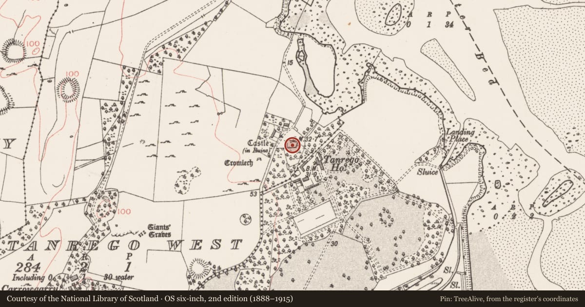
Slide toward Today to fade the historical sheet and see the modern map underneath.
David Rumsey Map Collection, Stanford LibrariesDavid Rumsey Map Collection, Stanford LibrariesDavid Rumsey Map Collection, Stanford LibrariesDavid Rumsey Map Collection, Stanford Libraries
4 historical maps cover this location, the earliest the 1790 map "Composite: Ireland." (David Rumsey Map Collection, Stanford Libraries).
Historical maps covering this location
- 1790 · Composite: Ireland. (David Rumsey Map Collection, Stanford Libraries)
- 1869 · Ireland. (David Rumsey Map Collection, Stanford Libraries)
- 1891 · Ireland 16 (David Rumsey Map Collection, Stanford Libraries)
- 1904 · Sheet 4. (David Rumsey Map Collection, Stanford Libraries)
This record in the National Monuments Service's Historic Environment Viewer ↗
The National Monuments Service's description
Situated in level pasture close to the W shore of Ballisodare Bay. O'Rorke (1890, 392) referred to 'an old castle and bawn, in fair preservation…in Tanrego. There are no upstanding remains of the castle (SL019-062001-). The bawn, of late 17th or 18th century date, comprising a quadrangular area (c .30-34m N-S; c. 24m E-W) defined by substantial walls of mortared limestone (Wall T 1.5-2m; H c. 2-c.5m). The main entrance, with indications of a gatehouse, is at the N end of the W wall. There is a second, probably relatively modern, entrance in the centre of the N wall. There are projecting D-shaped, single-storey towers at the E end of the N wall and in the centre of the S wall. There are a series of blocked-up gun loops in the bawn walls and in at least one of the towers. The enclosed area is densely overgrown with vegetation. However a number of low walls, probably of relatively recent origin, are visible. A short distance away is a house, probably of late 16th/early 17th century date (SL019-062001-).
Compiled by: Patrick F. O'Donovan
Date of upload: 19 January 2011
Nearby in the register
- Castle - unclassifiedunder 1 mi
- House - 16th/17th centuryunder 1 mi
- Megalithic structureunder 1 mi
- Enclosureunder 1 mi
Other entries of the same register within about three miles of this one, by straight line.