Sites and Monuments Record · Ireland
Rock art
Tawnatruffaun, County Sligo, Ireland
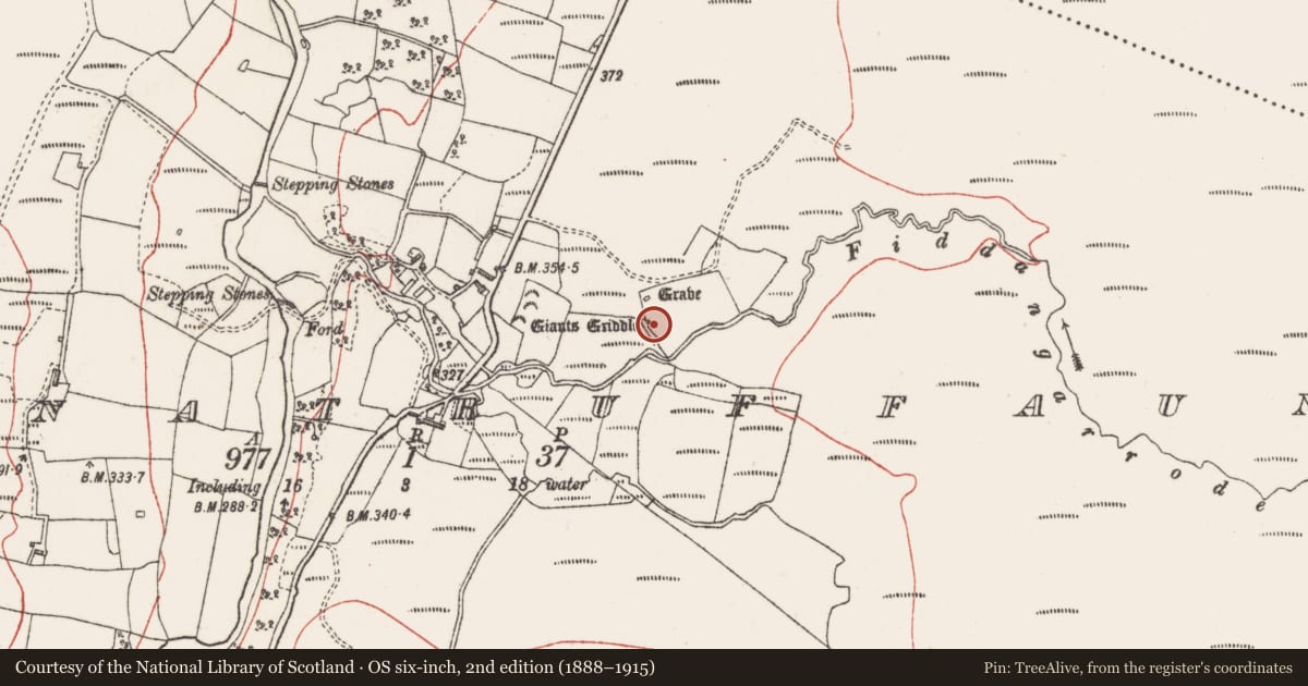
The record
- Townland
- Tawnatruffaun
- County
- Sligo
- Country
- Ireland
- Latest-edition OS map
- Not indicated
- Coordinates
- 54.19819, -8.92084
- SMR number
- SL017-062----
Slide toward Today to fade the historical sheet and see the modern map underneath.
David Rumsey Map Collection, Stanford LibrariesDavid Rumsey Map Collection, Stanford LibrariesDavid Rumsey Map Collection, Stanford LibrariesDavid Rumsey Map Collection, Stanford Libraries
4 historical maps cover this location, the earliest the 1790 map "Composite: Ireland." (David Rumsey Map Collection, Stanford Libraries).
Historical maps covering this location
- 1790 · Composite: Ireland. (David Rumsey Map Collection, Stanford Libraries)
- 1869 · Ireland. (David Rumsey Map Collection, Stanford Libraries)
- 1891 · Ireland 16 (David Rumsey Map Collection, Stanford Libraries)
- 1904 · Sheet 4. (David Rumsey Map Collection, Stanford Libraries)
This record in the National Monuments Service's Historic Environment Viewer ↗
The National Monuments Service's description
This is one of two 'flagstones' recorded as bearing incised 'dot and circle' motifs incorporated into a drystone field wall at Tawntruffaun portal tomb (SL017-051----). This stone is in the base of the wall and is 4.9m SE of the tomb. The upper face upon which the motif is positioned is flat and steep-sided. The carving, which is faint, consists of a single horse-shoe shaped motif at the S angle of the stone. (Wood-Martin 1987-8, 282-3; Kilgannon 1926, 299-300; Weir 1980, 210). The exact location of the second stone (SL017-059----) is unknown.
Compiled by: Paul Walsh
Date of upload: 25 May 2012
Nearby in the register
- Megalithic tomb - portal tombunder 1 mi
- Moundunder 1 mi
- Megalithic tomb - court tombunder 1 mi
- Megalithic tomb - court tombunder 1 mi
Other entries of the same register within about three miles of this one, by straight line.