Sites and Monuments Record · Ireland
Souterrain
Frankford, County Sligo, Ireland
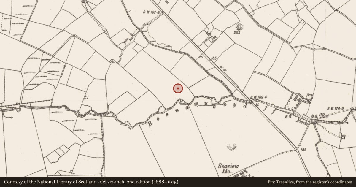
The record
- Townland
- Frankford
- County
- Sligo
- Country
- Ireland
- First-edition OS map
- Not indicated
- Latest-edition OS map
- Not indicated
- Coordinates
- 54.20177, -9.05209
- SMR number
- SL016-069----
Slide toward Today to fade the historical sheet and see the modern map underneath.
David Rumsey Map Collection, Stanford LibrariesDavid Rumsey Map Collection, Stanford LibrariesDavid Rumsey Map Collection, Stanford LibrariesDavid Rumsey Map Collection, Stanford Libraries
4 historical maps cover this location, the earliest the 1790 map "Composite: Ireland." (David Rumsey Map Collection, Stanford Libraries).
Historical maps covering this location
- 1790 · Composite: Ireland. (David Rumsey Map Collection, Stanford Libraries)
- 1841 · Ireland. (David Rumsey Map Collection, Stanford Libraries)
- 1869 · Ireland. (David Rumsey Map Collection, Stanford Libraries)
- 1891 · Ireland 16 (David Rumsey Map Collection, Stanford Libraries)
This record in the National Monuments Service's Historic Environment Viewer ↗
The National Monuments Service's description
Not marked on any edition of the OS 6-inch map. Situated near the S edge of the top of a steep-sided ridge. Souterrain, whose walls are constructed of slightly corbelled drystone masonry and which is roofed with stone lintels. Present entrance is an opening (Wth 0.6m; H 0.4m) topped with a stone lintel, located 1m below ground surface on the E side of a quarried area (8m N-S; 6m E-W). This gives access to a narrow pasage (Wth 0.6-1m; H 1.1m; L 4.8m) which inclines downwards in an E direction. At ground floor level in the N wall at the E end of the passage is a small, partially blocked-up recess (Wth 0.61m; H 0.57m). The passage ends at a lintelled doorway (Wth 0.67m; H 1.05m) which open onto a oval-shaped chamber (dims. 4m x 2.5m; H 2.45m). At SW, 1m above present floor level, is a small, semi-circular recess or cupboard. At the SE is a short passage (L 1.8m N-S; Wth 0.6m; H 1.05m) which gives access to a second roughly oval-shaped chamber (L 3.8m N-S; Wth 1.8m; H c. 2m). At NE is a small recess or cupboard. There is a local tradition of a rath in proximity to this site (SL016-070----).
Compiled by: Patrick F. O'Donovan
Date of upload: 19 January 2011
Nearby in the register
- Ringfort - rathunder 1 mi
- Ringfort - rathunder 1 mi
- Ringfort - rathunder 1 mi
- Earthworkunder 1 mi
Other entries of the same register within about three miles of this one, by straight line.