Sites and Monuments Record · Ireland
Memorial stone (present location)
Rathquarter, County Sligo, Ireland
The record
- Townland
- Rathquarter
- County
- Sligo
- Country
- Ireland
- Latest-edition OS map
- Not indicated
- Coordinates
- 54.27278, -8.47291
- SMR number
- SL014-284008-
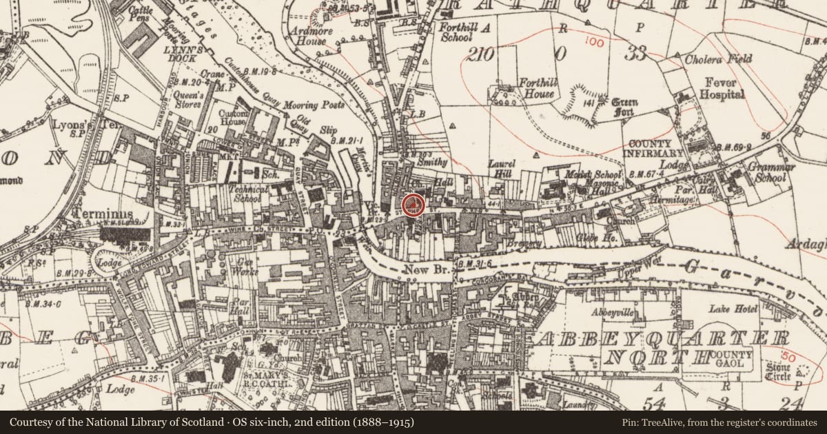
Slide toward Today to fade the historical sheet and see the modern map underneath.
David Rumsey Map Collection, Stanford LibrariesDavid Rumsey Map Collection, Stanford LibrariesDavid Rumsey Map Collection, Stanford LibrariesDavid Rumsey Map Collection, Stanford Libraries
4 historical maps cover this location, the earliest the 1790 map "Composite: Ireland." (David Rumsey Map Collection, Stanford Libraries).
Historical maps covering this location
- 1790 · Composite: Ireland. (David Rumsey Map Collection, Stanford Libraries)
- 1869 · Ireland. (David Rumsey Map Collection, Stanford Libraries)
- 1891 · Ireland 16 (David Rumsey Map Collection, Stanford Libraries)
- 1904 · Sheet 4. (David Rumsey Map Collection, Stanford Libraries)
This record in the National Monuments Service's Historic Environment Viewer ↗
The National Monuments Service's description
In Sligo County Museum is a stone with a Latin inscription recording the building of a bridge (SL020-230001-) over the river at Ballsadare Bay by Maria, wife of the soldier Roger Jones, in the year 1628 (Sligo Field Club files). The inscription reads 'Maria Jones, Rogeri Militus Uxor hunc pontem struxit. Anno 1628. Pons Fabricatricis menorat sua facta; superstat marmore qua viva posteritatis inops dumque lapis superest crit indelible nomen, dinque viatores, munera tanta beant.' There are no visible remains of the 17th-century bridge (SL020-230001-). The present bridge is a disused causeway bridge of 19th-century appearance between a railway line and the modern N4 road. It has two semicircular arches, roughly 12m apart, one partially replaced with concrete and the other blocked up leaving only a small lintelled channel.
Compiled by: Paul Walsh
Date of upload: 29 August 2014
Nearby in the register
- Cross-slab (present location)under 1 mi
- Cross-slab (present location)under 1 mi
- Cross-slab (present location)under 1 mi
- Cross-slab (present location)under 1 mi
Other entries of the same register within about three miles of this one, by straight line.