Sites and Monuments Record · Ireland
Barrow - ring-barrow
Seafield, County Sligo, Ireland
The record
- Townland
- Seafield
- County
- Sligo
- Country
- Ireland
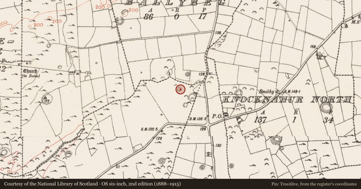
- Latest-edition OS map
- Hachured
- Coordinates
- 54.24505, -8.54173
- SMR number
- SL014-194----
Slide toward Today to fade the historical sheet and see the modern map underneath.
David Rumsey Map Collection, Stanford LibrariesDavid Rumsey Map Collection, Stanford LibrariesDavid Rumsey Map Collection, Stanford LibrariesDavid Rumsey Map Collection, Stanford Libraries
4 historical maps cover this location, the earliest the 1790 map "Composite: Ireland." (David Rumsey Map Collection, Stanford Libraries).
Historical maps covering this location
- 1790 · Composite: Ireland. (David Rumsey Map Collection, Stanford Libraries)
- 1869 · Ireland. (David Rumsey Map Collection, Stanford Libraries)
- 1891 · Ireland 16 (David Rumsey Map Collection, Stanford Libraries)
- 1904 · Sheet 4. (David Rumsey Map Collection, Stanford Libraries)
This record in the National Monuments Service's Historic Environment Viewer ↗
The National Monuments Service's description
Timoney (1984, 322, no. 3) describes this as follows: ‘This ring-barrow on flat ground has been ploughed down to a considerable extent and is perceptible only under a low setting sun. The total diameter appears to be in the region of 18.50 m. On the southwest side the bank remains to a height of only 13 cm. This is surrounded by a 3 m wide by 15 cm deep fosse and a bank, 3.50 m wide which averages 20 cm in height but is at most 30 cm high. Burenhult (1980:1, 93, 107) includes this within Strutture 13, Knocknahur North, recte Seafield, a group of five structures, all of which registered very low phosphate values. This would appear to be one of the structures included in map 26 (Burenhult 1980:1, 109), the other being unknown to the writer. However recent ploughing for the development of this field for sports has destroyed all of the surface except for the two Seafield barrows listed herein (3).’
Compiled by: Paul Walsh
Date of upload: 28 January 2014
References
Timoney, M.A. 1984 Earthen burial sites on the Carrowmore peninsula, Co. Sligo. In G. Burenhult, The archaeology of Carrowmore. Stockholm, 319-25.
Nearby in the register
- Enclosureunder 1 mi
- Enclosureunder 1 mi
- Barrow - ring-barrowunder 1 mi
- Barrow - ring-barrowunder 1 mi
Other entries of the same register within about three miles of this one, by straight line.