Sites and Monuments Record · Ireland
Graveslab
Abbeyquarter North, County Sligo, Ireland
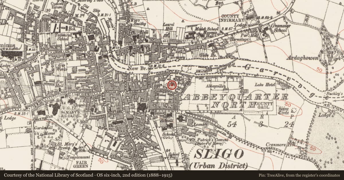
The record
- Townland
- Abbeyquarter North
- County
- Sligo
- Country
- Ireland
- Latest-edition OS map
- Not indicated
- Coordinates
- 54.27087, -8.46991
- SMR number
- SL014-065032-
Slide toward Today to fade the historical sheet and see the modern map underneath.
David Rumsey Map Collection, Stanford LibrariesDavid Rumsey Map Collection, Stanford LibrariesDavid Rumsey Map Collection, Stanford LibrariesDavid Rumsey Map Collection, Stanford Libraries
4 historical maps cover this location, the earliest the 1790 map "Composite: Ireland." (David Rumsey Map Collection, Stanford Libraries).
Historical maps covering this location
- 1790 · Composite: Ireland. (David Rumsey Map Collection, Stanford Libraries)
- 1869 · Ireland. (David Rumsey Map Collection, Stanford Libraries)
- 1891 · Ireland 16 (David Rumsey Map Collection, Stanford Libraries)
- 1904 · Sheet 4. (David Rumsey Map Collection, Stanford Libraries)
This record in the National Monuments Service's Historic Environment Viewer ↗
The National Monuments Service's description
In Sligo Dominican friary (SL014-065008-), on display within an arched recess in the N wall of the chancel, with two other graveslabs (SL014-065033-; SL014-065034-).
This fragment of a late medieval graveslab appears to consist of the upper portion of a trapezoidal or tapered slab. The edges of the slabs defined by two parallel grooves. In the upper half of the fragment is a panel of elaborate foliated carvings in low relief. The lower portion bears the faint outline of a central, vertical band, perhaps a cross shaft, and a curvilinear feature in the bottom left of the fragment.
Attached image:
SL014-065032-_01.JPG
Compiled by: Anne-Julie Lafaye
Date of upload: 29 September 2020
Nearby in the register
Other entries of the same register within about three miles of this one, by straight line.