Sites and Monuments Record · Ireland
Midden
Culleenamore, County Sligo, Ireland
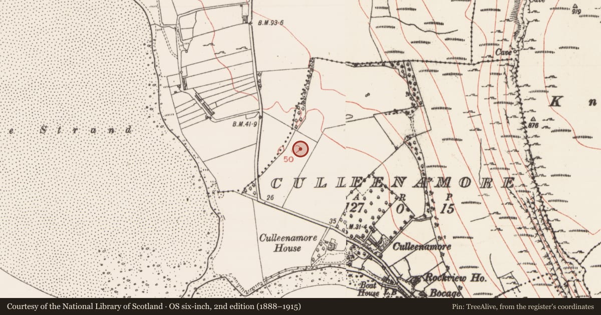
The record
- Townland
- Culleenamore
- County
- Sligo
- Country
- Ireland
- Coordinates
- 54.25705, -8.59516
- SMR number
- SL013-088002-
Slide toward Today to fade the historical sheet and see the modern map underneath.
David Rumsey Map Collection, Stanford LibrariesDavid Rumsey Map Collection, Stanford LibrariesDavid Rumsey Map Collection, Stanford LibrariesDavid Rumsey Map Collection, Stanford Libraries
4 historical maps cover this location, the earliest the 1790 map "Composite: Ireland." (David Rumsey Map Collection, Stanford Libraries).
Historical maps covering this location
- 1790 · Composite: Ireland. (David Rumsey Map Collection, Stanford Libraries)
- 1869 · Ireland. (David Rumsey Map Collection, Stanford Libraries)
- 1891 · Ireland 16 (David Rumsey Map Collection, Stanford Libraries)
- 1904 · Sheet 4. (David Rumsey Map Collection, Stanford Libraries)
This record in the National Monuments Service's Historic Environment Viewer ↗
The National Monuments Service's description
Midden material was recorded at this location c. 1970 and a souterrain (SL013-088001-) had been dug into it (pers. comm. M.A. Timoney). No trace of any midden material was visible when inspected in 2004 though the roofstones of the souterrain were exposed.
Compiled by: Paul Walsh
Date of upload: 24 February 2014
Nearby in the register
- Souterrainunder 1 mi
- Barrow - mound barrowunder 1 mi
- Settlement platformunder 1 mi
- Middenunder 1 mi
Other entries of the same register within about three miles of this one, by straight line.