Sites and Monuments Record · Ireland
Enclosure
Alternan Park, County Sligo, Ireland
The record
- Townland
- Alternan Park
- County
- Sligo
- Country
- Ireland
- First-edition OS map
- Not indicated
- Latest-edition OS map
- Not indicated
- Coordinates
- 54.27166, -8.89761
- SMR number
- SL011-121----
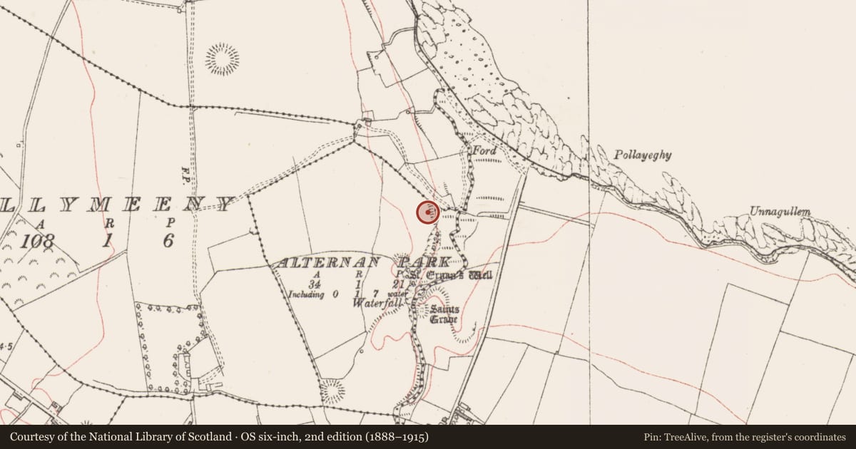
Slide toward Today to fade the historical sheet and see the modern map underneath.
David Rumsey Map Collection, Stanford LibrariesDavid Rumsey Map Collection, Stanford LibrariesDavid Rumsey Map Collection, Stanford LibrariesDavid Rumsey Map Collection, Stanford Libraries
4 historical maps cover this location, the earliest the 1790 map "Composite: Ireland." (David Rumsey Map Collection, Stanford Libraries).
Historical maps covering this location
- 1790 · Composite: Ireland. (David Rumsey Map Collection, Stanford Libraries)
- 1869 · Ireland. (David Rumsey Map Collection, Stanford Libraries)
- 1891 · Ireland 16 (David Rumsey Map Collection, Stanford Libraries)
- 1904 · Sheet 4. (David Rumsey Map Collection, Stanford Libraries)
This record in the National Monuments Service's Historic Environment Viewer ↗
The National Monuments Service's description
In NE corner of a pasture field, located on a slight E-facing slope on top of a ridge, on the W edge of a wooded ravine, and overlooking the sea c. 200m to N. Along the E edge of the enclosure the ground falls precipitously into the ravine, but immediately to N the slope becomes more gradual allowing relatively easy access to the Ballymeeny River at the base of the ravine. Rectangular area (20m NNW-SSE; 14m WSW-ENE) enclosed on the S, W and N sides by an earthen bank (Wth 3.8m; int. H 0.25m). The bank has been levelled and appears as a barely discernible sod-covered rise (Wth c. 2-2.5m). Outside the bank, on the S side, there is a fosse, evident as a shallow depression (Wth c. 2m). A slight rise on the exterior edge of the fosse appears to be the remnants of an external bank. No enclosing element is evident on the E side where the enclosure is defined only by the steep ravine slope. The interior of the enclosure slopes down gently from W to E.
Compiled by: Jane O’Shaughnessy
Date of upload: 2 july 2013
Nearby in the register
- Bridgeunder 1 mi
- Enclosureunder 1 mi
- Ritual site - holy wellunder 1 mi
- Ritual site - holy wellunder 1 mi
Other entries of the same register within about three miles of this one, by straight line.