Sites and Monuments Record · Ireland
Enclosure
Quigabar, County Sligo, Ireland
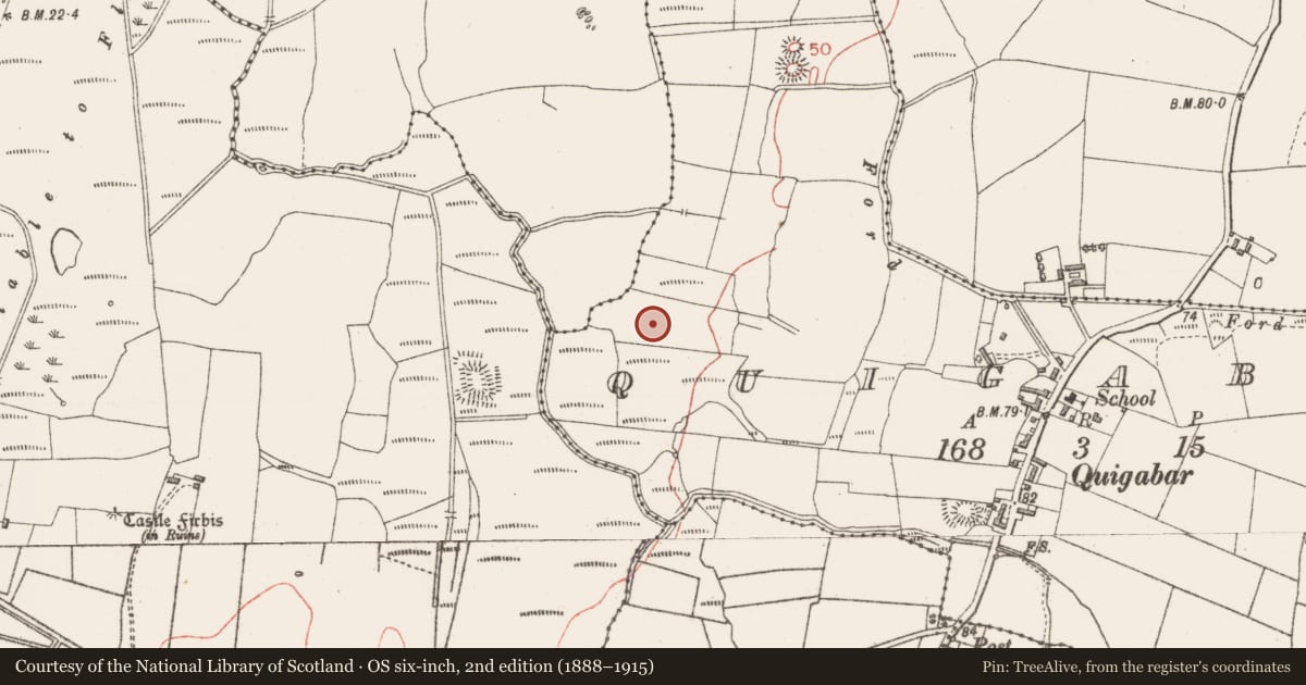
The record
- Townland
- Quigabar
- County
- Sligo
- Country
- Ireland
- First-edition OS map
- Not indicated
- Latest-edition OS map
- Not indicated
- Coordinates
- 54.24386, -9.06261
- SMR number
- SL010-037----
Slide toward Today to fade the historical sheet and see the modern map underneath.
David Rumsey Map Collection, Stanford LibrariesDavid Rumsey Map Collection, Stanford LibrariesDavid Rumsey Map Collection, Stanford LibrariesDavid Rumsey Map Collection, Stanford Libraries
4 historical maps cover this location, the earliest the 1790 map "Composite: Ireland." (David Rumsey Map Collection, Stanford Libraries).
Historical maps covering this location
- 1790 · Composite: Ireland. (David Rumsey Map Collection, Stanford Libraries)
- 1841 · Ireland. (David Rumsey Map Collection, Stanford Libraries)
- 1869 · Ireland. (David Rumsey Map Collection, Stanford Libraries)
- 1891 · Ireland 16 (David Rumsey Map Collection, Stanford Libraries)
This record in the National Monuments Service's Historic Environment Viewer ↗
The National Monuments Service's description
Located in lowlying coastal pasture. A slightly raised, irregular- or roughly kidney-shaped area (19.5m NE–SW; 13m NW–SE max. at NE, 9m at SW) defined on the perimeter by a low earthen bank (Wth 1-1.2m; int. H 0.1-02m; ext. H 0.4m at NE, 0.45-0.5m at SW), and divided into three compartments, the smallest of which projects to the W. The larger, SW part consists of an oblong area (c. 19m NE–SW; c. 9m NW–SE) divided by a low scarp into two subcircular compartments of roughly equal size: subcircular, NE compartment (8m NW–SE; 9m NE–SW); SW compartment (9m NW–SE; 10.5m NE–SW). Abutting the NW side of the NE compartment, and separated from it by a low bank, is the third and smallest compartment (7.3 NE–SW; 3.8-4m NW–SE), oval in plan, which projects to W. There are two narrow breaks in the bank of this third compartment: one (Wth 0.6) at W connecting with the exterior and one (Wth 0.5m) at E connecting with the NE compartment. The function and date of this enclosure is unclear. There is a rectangular enclosure (SL010-036----) 50m to N in the same field.
Compiled by: Jane O'Shaughnessy
Date of upload: 23 September 2014
Nearby in the register
- Enclosureunder 1 mi
- Kiln - limeunder 1 mi
- Enclosureunder 1 mi
- Moated siteunder 1 mi
Other entries of the same register within about three miles of this one, by straight line.