Sites and Monuments Record · Ireland
Building
Glencarbury, County Sligo, Ireland
The record
- Townland
- Glencarbury
- County
- Sligo
- Country
- Ireland
- First-edition OS map
- Not indicated
- Latest-edition OS map
- Indicated
- Coordinates
- 54.35585, -8.41221
- SMR number
- SL009-004003-
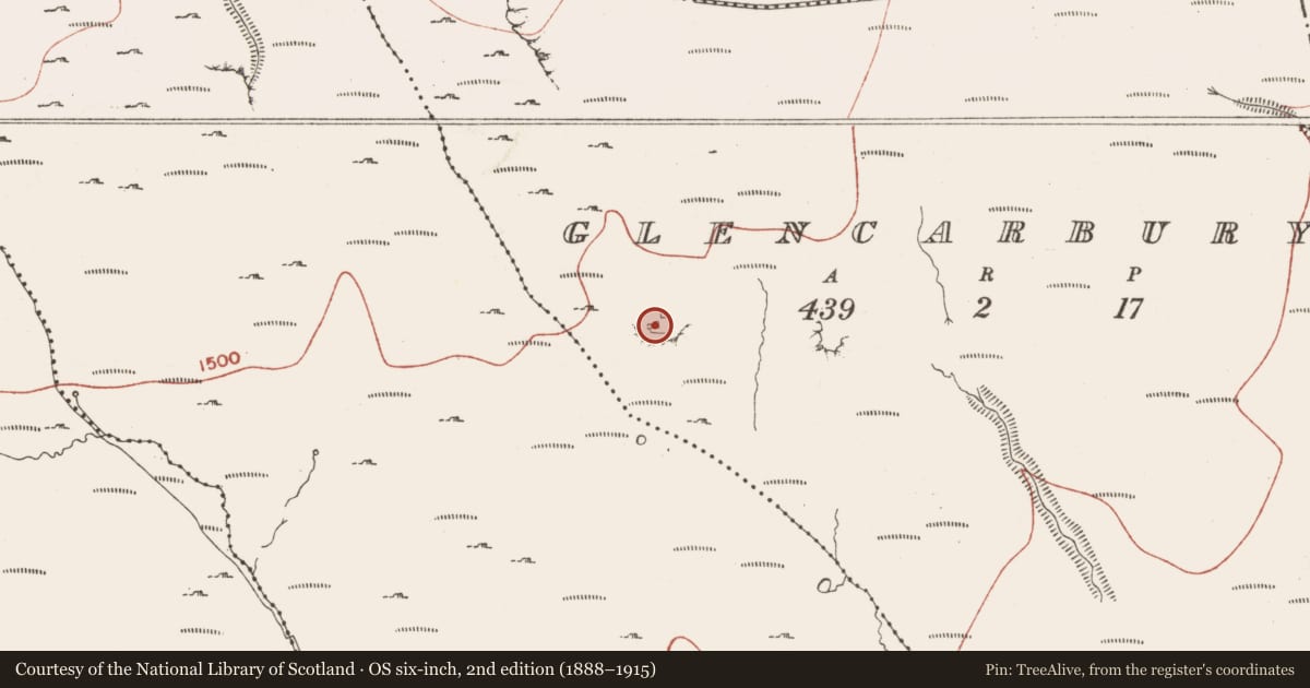
Slide toward Today to fade the historical sheet and see the modern map underneath.
David Rumsey Map Collection, Stanford LibrariesDavid Rumsey Map Collection, Stanford LibrariesDavid Rumsey Map Collection, Stanford LibrariesDavid Rumsey Map Collection, Stanford Libraries
4 historical maps cover this location, the earliest the 1869 map "Ireland." (David Rumsey Map Collection, Stanford Libraries).
Historical maps covering this location
- 1869 · Ireland. (David Rumsey Map Collection, Stanford Libraries)
- 1891 · Ireland 16 (David Rumsey Map Collection, Stanford Libraries)
- 1904 · Sheet 4. (David Rumsey Map Collection, Stanford Libraries)
- 1922 · Ireland - northern section. (David Rumsey Map Collection, Stanford Libraries)
This record in the National Monuments Service's Historic Environment Viewer ↗
The National Monuments Service's description
Not indicated on either the 1837 or 1913 edition of the OS 6-inch map. Situated atop an exposed summit of rocky hillock, in undulating mountain pasture on slight NNE-facing slope c.100m to the N of a now disused barytes mine. Views are good to excellent in all directions except W where obscured by higher ground. Complex, comprising the remains of three buildings (SL009-004001-; SL009-004002-; SL009-004003-), at least two of which are booley huts or small houses, associated with a field (SL009-004----). This rectangular building (N-S 3.5m N-S; 1.8m E-W) is positioned in the NW corner of the field. It is defined only by the footings of walls composed of un-coursed and un-bonded irregular rubble limestone (max. H 0.2m; T 0.65m). Entrance doorway not recognisable. The roof is gone. Floor is rocky and apparently un-surfaced. When inspected in 2004 (SMR file) the fieldworker was unable to determine on the basis of the available evidence whether this was a small house or merely a shed. The remains are almost certainly post-1700 AD in date.
Compiled by: Patrick F. O'Donovan
Date of upload: 02 August 2012
Nearby in the register
- Booley hutunder 1 mi
- Booley hutunder 1 mi
- Field boundaryunder 1 mi
- Booley hutunder 1 mi
Other entries of the same register within about three miles of this one, by straight line.