Sites and Monuments Record · Ireland
Barrow - bowl-barrow
Ballinphull (Carbury By., Lissadill East ED), County Sligo, Ireland
The record
- Townland
- Ballinphull (Carbury By., Lissadill East ED)
- County
- Sligo
- Country
- Ireland
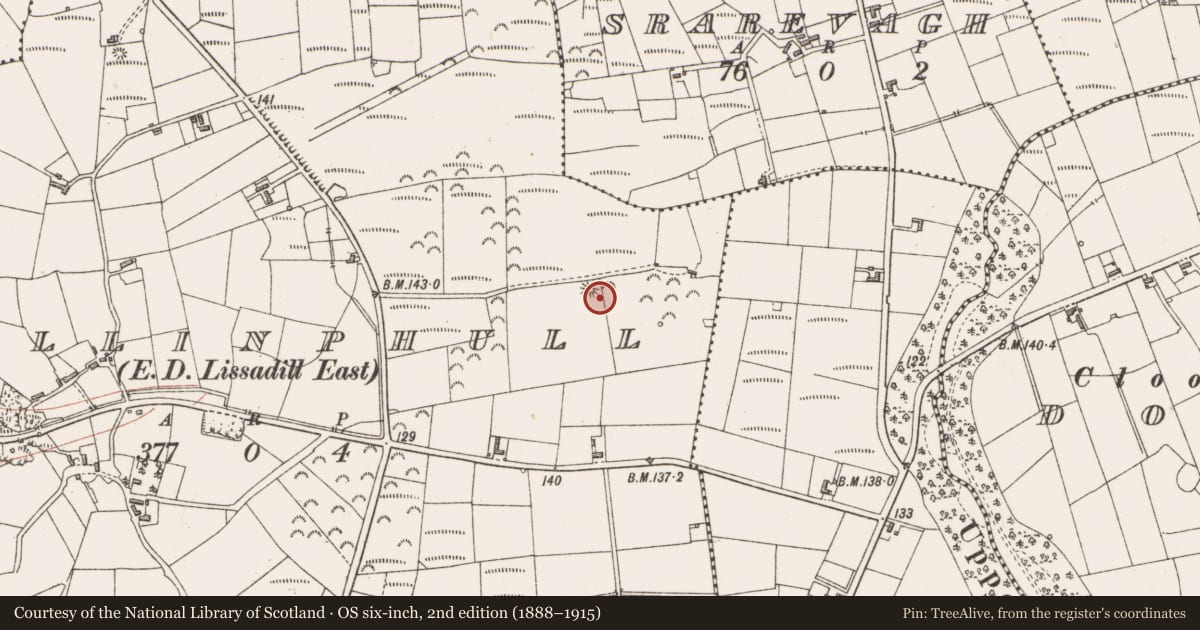
- Latest-edition OS map
- Hachured
- Coordinates
- 54.36536, -8.57586
- SMR number
- SL005-099----
Slide toward Today to fade the historical sheet and see the modern map underneath.
David Rumsey Map Collection, Stanford LibrariesDavid Rumsey Map Collection, Stanford LibrariesDavid Rumsey Map Collection, Stanford LibrariesDavid Rumsey Map Collection, Stanford Libraries
4 historical maps cover this location, the earliest the 1869 map "Ireland." (David Rumsey Map Collection, Stanford Libraries).
Historical maps covering this location
- 1869 · Ireland. (David Rumsey Map Collection, Stanford Libraries)
- 1891 · Ireland 16 (David Rumsey Map Collection, Stanford Libraries)
- 1904 · Sheet 4. (David Rumsey Map Collection, Stanford Libraries)
- 1922 · Ireland - northern section. (David Rumsey Map Collection, Stanford Libraries)
This record in the National Monuments Service's Historic Environment Viewer ↗
The National Monuments Service's description
Situated on a broad gently sloping hill on slight S-facing slope in pasture. Circular flat-topped mound (dims. diam. top 3m; diam. base 18m) of earth and rubble stone defined by a steep scarped edge (ext. H 4.35m) with an external fosse (Wth 8m; D 0.1m). The fosse is visible as enclosing the central mound SW-N.
Compiled by: Patrick F. O'Donovan
Date of upload: 21 April 2011
Nearby in the register
- Cairn - unclassifiedunder 1 mi
- Enclosureunder 1 mi
- Fulacht fiaunder 1 mi
- Barrow - bowl-barrowunder 1 mi
Other entries of the same register within about three miles of this one, by straight line.