Sites and Monuments Record · Ireland
Seaweed stand
Ballyconnell, County Sligo, Ireland
The record
- Townland
- Ballyconnell
- County
- Sligo
- Country
- Ireland
- Latest-edition OS map
- Indicated
- Coordinates
- 54.36953, -8.64505
- SMR number
- SL004-030----
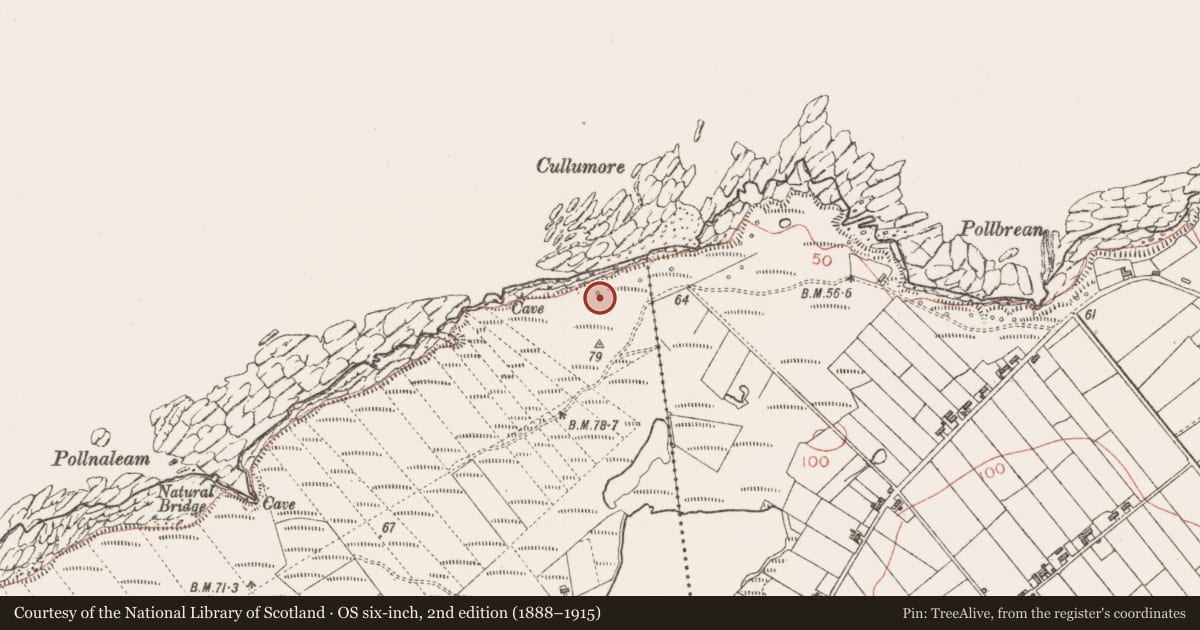
Slide toward Today to fade the historical sheet and see the modern map underneath.
David Rumsey Map Collection, Stanford LibrariesDavid Rumsey Map Collection, Stanford LibrariesDavid Rumsey Map Collection, Stanford LibrariesDavid Rumsey Map Collection, Stanford Libraries
4 historical maps cover this location, the earliest the 1869 map "Ireland." (David Rumsey Map Collection, Stanford Libraries).
Historical maps covering this location
- 1869 · Ireland. (David Rumsey Map Collection, Stanford Libraries)
- 1891 · Ireland 16 (David Rumsey Map Collection, Stanford Libraries)
- 1904 · Sheet 4. (David Rumsey Map Collection, Stanford Libraries)
- 1922 · Ireland - northern section. (David Rumsey Map Collection, Stanford Libraries)
This record in the National Monuments Service's Historic Environment Viewer ↗
The National Monuments Service's description
One of 17 small circular enclosures marked on the OS 25-inch plan (surveyed 1909). These were used as stands for stacking seaweed and date from the post-1700 AD period. (Timoney 2002b, 58-9.)
Timoney, M.A. 2002b Aughris, Portavaud, Lackan and Kilcummin. In M.A. Timoney (ed.), A celebration of Sligo: first essays for Sligo Field Club, 41-64. Sligo Field Club. Carrick-on-Shannon
Compiled by: Paul Walsh
Date of upload: 26 August 2011
References
Timoney, M.A. 2002b Aughris, Portavaud, Lackan and Kilcummin. In M.A. Timoney (ed.), A celebration of Sligo: first essays for Sligo Field Club, 41-64. Sligo Field Club. Carrick-on-Shannon
Nearby in the register
- Seaweed standunder 1 mi
- Seaweed standunder 1 mi
- Seaweed standunder 1 mi
- Seaweed standunder 1 mi
Other entries of the same register within about three miles of this one, by straight line.