Sites and Monuments Record · Ireland
Inscribed stone (present location)
Inishmurray, County Sligo, Ireland
The record
- Townland
- Inishmurray
- County
- Sligo
- Country
- Ireland
- First-edition OS map
- Not indicated
- Latest-edition OS map
- Not indicated
- Coordinates
- 54.43252, -8.64821
- SMR number
- SL001-007007-
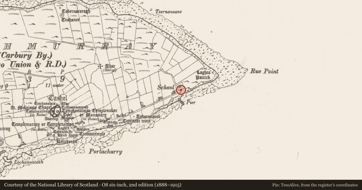
Slide toward Today to fade the historical sheet and see the modern map underneath.
David Rumsey Map Collection, Stanford LibrariesDavid Rumsey Map Collection, Stanford LibrariesDavid Rumsey Map Collection, Stanford LibrariesDavid Rumsey Map Collection, Stanford Libraries
4 historical maps cover this location, the earliest the 1869 map "Ireland." (David Rumsey Map Collection, Stanford Libraries).
Historical maps covering this location
- 1869 · Ireland. (David Rumsey Map Collection, Stanford Libraries)
- 1891 · Ireland 16 (David Rumsey Map Collection, Stanford Libraries)
- 1904 · Sheet 4. (David Rumsey Map Collection, Stanford Libraries)
- 1922 · Ireland - northern section. (David Rumsey Map Collection, Stanford Libraries)
This record in the National Monuments Service's Historic Environment Viewer ↗
The National Monuments Service's description
This inscribed stone was discovered in 1997 during an archaeological excavation at a small complex of monuments, known as Trahanareear, which includes a hermitage (SL001-007001-), leacht (SL001-007002-) and an enclosure (SL001-007007-). The stone was found lying in shallow peat against the base of a possible leacht (SL001-007004-) located 2m S of the enclosure. Following the excavation it was moved to the Schoolhouse/OPW conservation store (O’Sullivan and Ó Carragáin 2008, 227).
It was described by O’Sullivan and Ó Carragáin (ibid. 177) as follows: ‘Roughly dressed rectangular slab (H: 0.732 m, W: 0.405 m, Th: 0.04 m). Positioned in the upper left area appear three capital letters – J A W – and directly above them is a small incised cross.
The letter forms and context of this stone indicate that it is of fairly recent date. It may commemorate John Andrew Waters, a notable character among Inishmurray's last generation of inhabitants and a brother of Michael Waters, the island's last 'King' (pers. comm. Mr Rodney Lomax, Mullaghmore).’
Compiled by: Jane O'Shaughnessy
Date of revised upload: 26 January 2018
References
O'Sullivan J. and Ó Carragáin T. 2008 Inishmurray: Monks and Pilgrims in an Atlantic Landscape. Volume 1: Archaeological Survey and Excavations 1997-2000. The Collins Press. Cork.
Nearby in the register
- Cross-slab (present location)under 1 mi
- Cross-slab (present location)under 1 mi
- Cross-slab (present location)under 1 mi
- Cross-slab (present location)under 1 mi
Other entries of the same register within about three miles of this one, by straight line.