Sites and Monuments Record · Ireland
Cross-slab (present location)
Inishmurray, County Sligo, Ireland
The record
- Townland
- Inishmurray
- County
- Sligo
- Country
- Ireland
- Latest-edition OS map
- Not indicated
- Coordinates
- 54.43252, -8.64821
- SMR number
- SL001-002013-
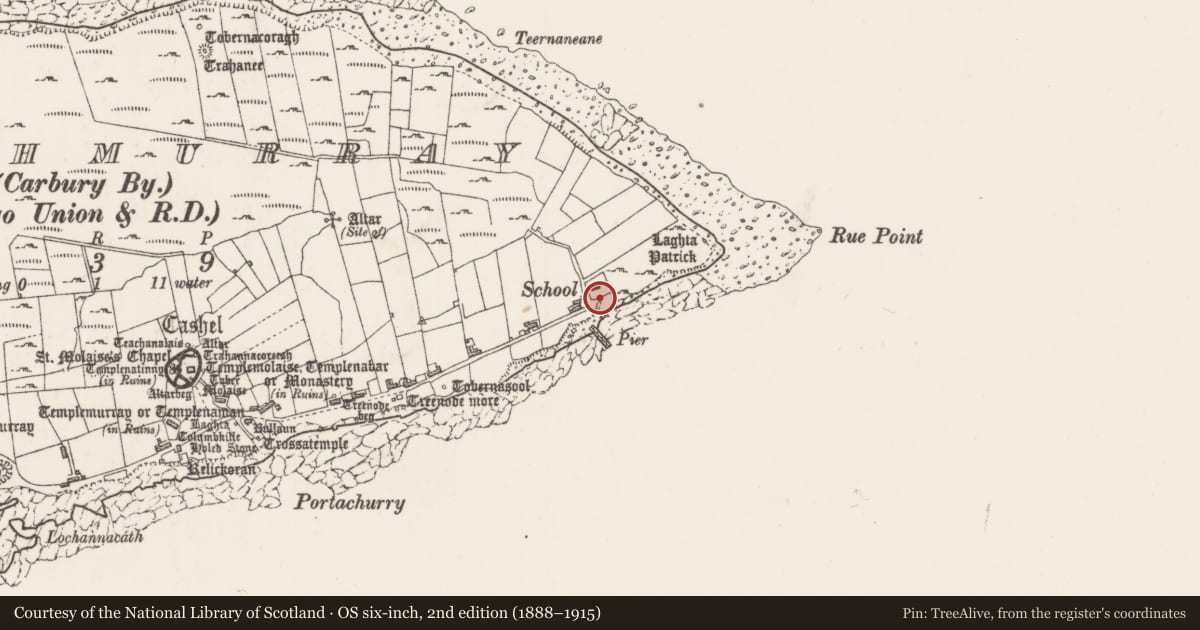
Slide toward Today to fade the historical sheet and see the modern map underneath.
David Rumsey Map Collection, Stanford LibrariesDavid Rumsey Map Collection, Stanford LibrariesDavid Rumsey Map Collection, Stanford LibrariesDavid Rumsey Map Collection, Stanford Libraries
4 historical maps cover this location, the earliest the 1869 map "Ireland." (David Rumsey Map Collection, Stanford Libraries).
Historical maps covering this location
- 1869 · Ireland. (David Rumsey Map Collection, Stanford Libraries)
- 1891 · Ireland 16 (David Rumsey Map Collection, Stanford Libraries)
- 1904 · Sheet 4. (David Rumsey Map Collection, Stanford Libraries)
- 1922 · Ireland - northern section. (David Rumsey Map Collection, Stanford Libraries)
This record in the National Monuments Service's Historic Environment Viewer ↗
The National Monuments Service's description
This cross-slab was originally located in Templenaman graveyard (SL001-002007-); it was removed to the Schoolhouse/OPW conservation store in 1989.
Slab (H: 0.69 m, W: 0.385 m, Th: 155) with incised cross with a long shaft and ringed head occupying most of the surface. The upper arms of the cross fall short of the ring (Diam: 0.2 m) and terminate in broad serifs. About half way down the shaft is the base of an outer encircling element (0.36 m by 0.27 m), shaped like an inverted teardrop, that completely surrounds the crosshead. The base of the shaft is embedded into a roughly semi-circular area in relief. The area of relief at the base may be a natural feature, but it seems to have been used as part of the design, possibly to represent Golgatha.
The above description is derived from the results of a survey of the archaeological monuments on Inishmurray undertaken in 1997-1999 and published in:
Jerry O’Sullivan and Tomás Ó Carragáin 2008 Inishmurrary. Monks and pilgrims in an Atlantic landscape. Volume 1: Archaeological Survey and Excavations 1997-2000. Cork. The Collins Press.
Date of upload: 20 February 2018
Nearby in the register
- Cross-slab (present location)under 1 mi
- Cross-slab (present location)under 1 mi
- Cross-slab (present location)under 1 mi
- Cross-slab (present location)under 1 mi
Other entries of the same register within about three miles of this one, by straight line.