Sites and Monuments Record · Ireland
Structure
Inishmurray, County Sligo, Ireland
The record
- Townland
- Inishmurray
- County
- Sligo
- Country
- Ireland
- Latest-edition OS map
- Not indicated
- Coordinates
- 54.43150, -8.65724
- SMR number
- SL001-001086-
Slide toward Today to fade the historical sheet and see the modern map underneath.
David Rumsey Map Collection, Stanford LibrariesDavid Rumsey Map Collection, Stanford LibrariesDavid Rumsey Map Collection, Stanford LibrariesDavid Rumsey Map Collection, Stanford Libraries
4 historical maps cover this location, the earliest the 1869 map "Ireland." (David Rumsey Map Collection, Stanford Libraries).
Historical maps covering this location
- 1869 · Ireland. (David Rumsey Map Collection, Stanford Libraries)
- 1891 · Ireland 16 (David Rumsey Map Collection, Stanford Libraries)
- 1904 · Sheet 4. (David Rumsey Map Collection, Stanford Libraries)
- 1922 · Ireland - northern section. (David Rumsey Map Collection, Stanford Libraries)
This record in the National Monuments Service's Historic Environment Viewer ↗
The National Monuments Service's description
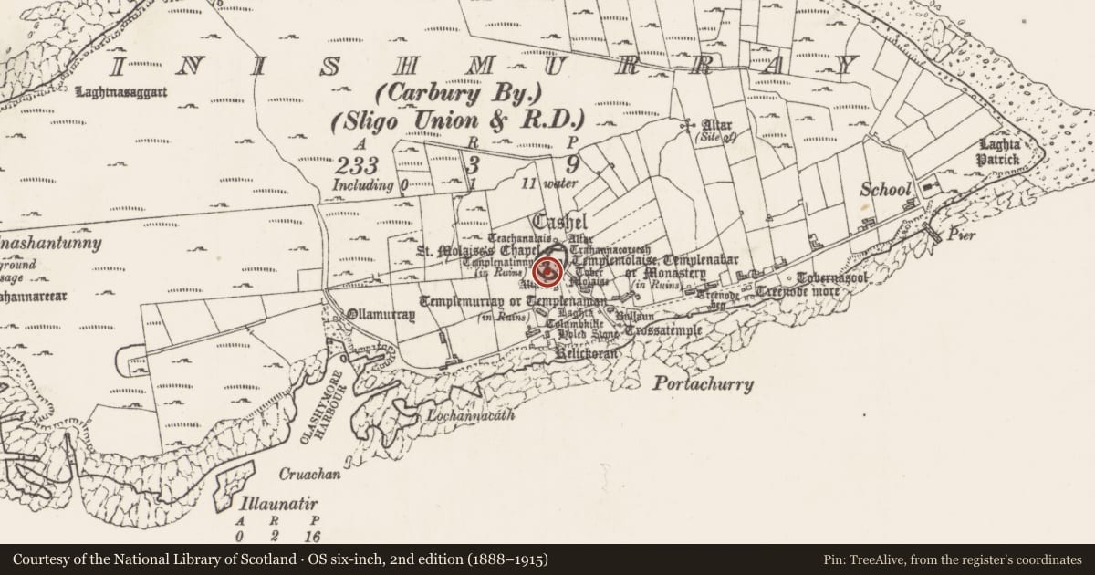
Abutting the SE side of Templenatinny church (SL001-001011-), within the W half of an ecclesiastical enclosure (SL011-011001-), known as ‘The Cashel’.
A rectilinear chamber is formed by the space between the south wall of Templenatinny and a return in the massive drystone revetment work which forms one side of the passage to the doorway of the church. The chamber is roofed with a single tier of large flat slabs, butted onto the wall of the church. Both ends of the chamber (i.e. at east and west) are now closed by coursed rubble masonry, so that there is no means of access. This may be the work of modern restorers. In its present form the chamber measures 3 m long (east/west) by 1 m wide and is 1.7 m high.
The above description is derived from the results of a survey of the archaeological monuments on Inishmurray undertaken in 1997-1999 and published in:
Jerry O’Sullivan and Tomás Ó Carragáin 2008 Inishmurrary. Monks and pilgrims in an Atlantic landscape. Volume 1: Archaeological Survey and Excavations 1997-2000. Cork. The Collins Press.
Date of upload: 16 January 2018
Nearby in the register
- Cross-slabunder 1 mi
- Churchunder 1 mi
- Hearthunder 1 mi
- Clochanunder 1 mi
Other entries of the same register within about three miles of this one, by straight line.