Sites and Monuments Record · Ireland
Penitential station
Eskerbaun, County Roscommon, Ireland
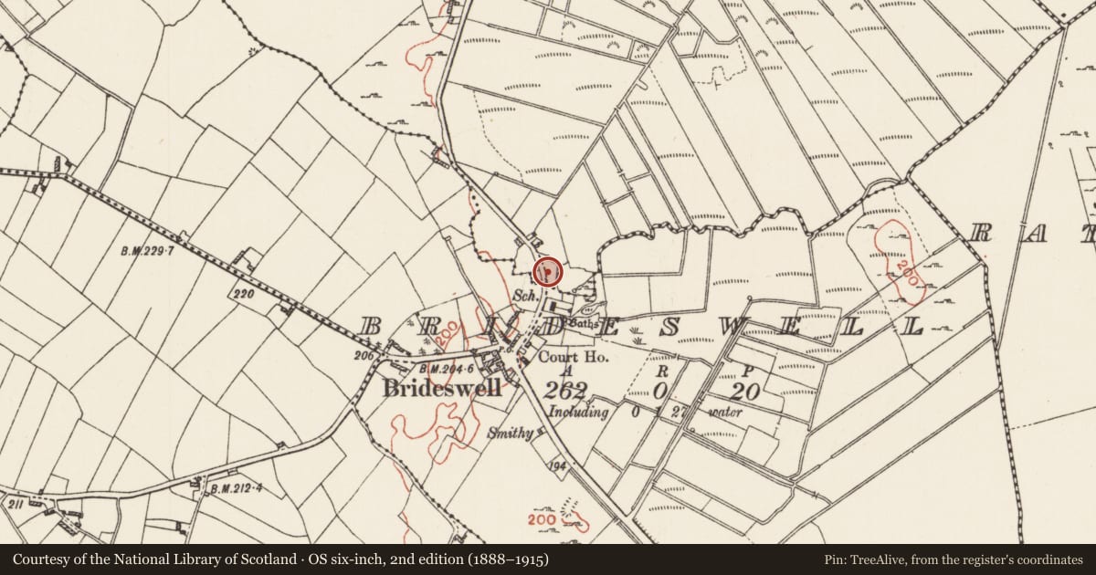
The record
- Townland
- Eskerbaun
- County
- Roscommon
- Country
- Ireland
- First-edition OS map
- Not indicated
- Latest-edition OS map
- Not indicated
- Coordinates
- 53.45336, -8.08883
- SMR number
- RO048-108004-
Slide toward Today to fade the historical sheet and see the modern map underneath.
David Rumsey Map Collection, Stanford LibrariesDavid Rumsey Map Collection, Stanford LibrariesDavid Rumsey Map Collection, Stanford LibrariesDavid Rumsey Map Collection, Stanford Libraries
4 historical maps cover this location, the earliest the 1790 map "Composite: Ireland." (David Rumsey Map Collection, Stanford Libraries).
Historical maps covering this location
- 1790 · Composite: Ireland. (David Rumsey Map Collection, Stanford Libraries)
- 1811 · Ireland. (David Rumsey Map Collection, Stanford Libraries)
- 1869 · Ireland. (David Rumsey Map Collection, Stanford Libraries)
- 1891 · Ireland 16 (David Rumsey Map Collection, Stanford Libraries)
This record in the National Monuments Service's Historic Environment Viewer ↗
The National Monuments Service's description
At the W edge of a low-lying basin. This grass-covered cairn (diam. of base 8.3m; diam. of top 3.3m; H 0.6m at W to 1.5m at E) surmounted by a chestnut tree, a glacial erratic (RO048-108006-) and a second cairn (RO048-108007-), now removed and replaced by a statue of St Bridget, c. 10m W of the bath-house (RO048-108001-) were part of the pattern. A revived pattern is still held at the end of July. (Weld 1832, 514-8)
See the attached view of this cairn taken from the NW.
Compiled by: Michael Moore
Date of upload: 24 August 2010
References
Weld, I. 1832 Statistical survey of the county Roscommon. Dublin, Royal Dublin Society
Nearby in the register
- Penitential stationunder 1 mi
- House - 17th centuryunder 1 mi
- Penitential stationunder 1 mi
- Penitential stationunder 1 mi
Other entries of the same register within about three miles of this one, by straight line.