Sites and Monuments Record · Ireland
Cross-slab
Ballypheasan, County Roscommon, Ireland
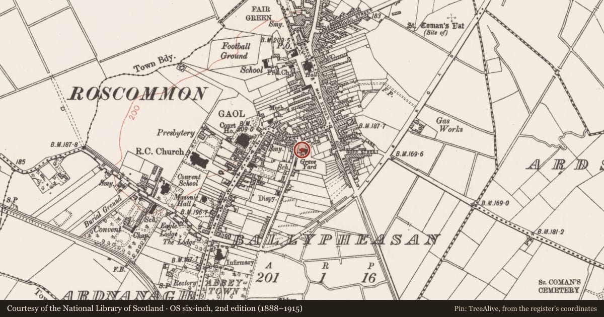
The record
- Townland
- Ballypheasan
- County
- Roscommon
- Country
- Ireland
- First-edition OS map
- Not indicated
- Latest-edition OS map
- Not indicated
- Coordinates
- 53.62895, -8.19081
- SMR number
- RO039-043016-
Slide toward Today to fade the historical sheet and see the modern map underneath.
David Rumsey Map Collection, Stanford LibrariesDavid Rumsey Map Collection, Stanford LibrariesDavid Rumsey Map Collection, Stanford LibrariesDavid Rumsey Map Collection, Stanford Libraries
4 historical maps cover this location, the earliest the 1790 map "Composite: Ireland." (David Rumsey Map Collection, Stanford Libraries).
Historical maps covering this location
- 1790 · Composite: Ireland. (David Rumsey Map Collection, Stanford Libraries)
- 1811 · Ireland. (David Rumsey Map Collection, Stanford Libraries)
- 1869 · Ireland. (David Rumsey Map Collection, Stanford Libraries)
- 1891 · Ireland 16 (David Rumsey Map Collection, Stanford Libraries)
This record in the National Monuments Service's Historic Environment Viewer ↗
The National Monuments Service's description
A broken cross-slab (dims 1m x 0.7m; max. T 0.13m) decorated with the stem of a cross and traces of a ring also has a panel of interlace and roundels at the edge of the stone. It was found in St Comán's graveyard (RO039-043007-) (Siggins 1996a), and is now displayed against the S wall of St. Comán's Church of Ireland church.
See the attached image taken c. 2003 before it was moved to its present position.
Compiled by: Michael Moore
Date of amended upload: 17 October 2013
References
Siggins, A. 1996a Romanesque graveslab from Roscommon town. Journal of the County Roscommon Historical and Archaeological Society 6, 11.
Nearby in the register
- Religious house - Augustinian canonsunder 1 mi
- Architectural fragmentunder 1 mi
- Memorial stoneunder 1 mi
- Crossunder 1 mi
Other entries of the same register within about three miles of this one, by straight line.