Sites and Monuments Record · Ireland
Enclosure
Carns, County Roscommon, Ireland
The record
- Townland
- Carns
- County
- Roscommon
- Country
- Ireland
- First-edition OS map
- Not indicated
- Latest-edition OS map
- Not indicated
- Coordinates
- 53.75304, -8.26545
- SMR number
- RO028-072003-
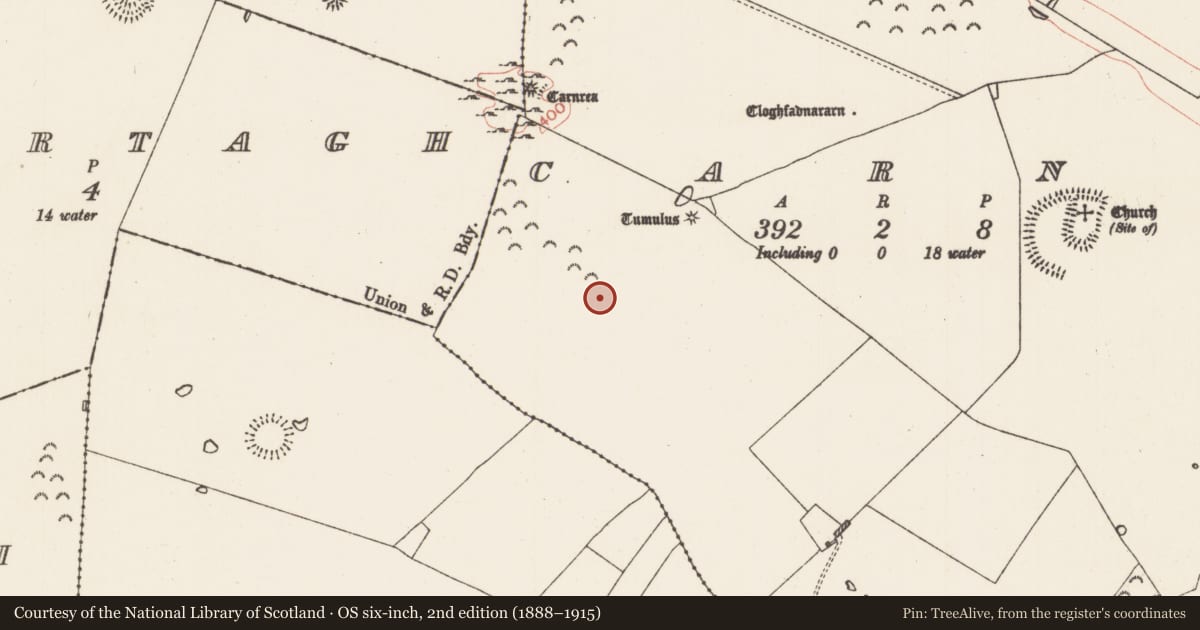
Slide toward Today to fade the historical sheet and see the modern map underneath.
David Rumsey Map Collection, Stanford LibrariesDavid Rumsey Map Collection, Stanford LibrariesDavid Rumsey Map Collection, Stanford LibrariesDavid Rumsey Map Collection, Stanford Libraries
4 historical maps cover this location, the earliest the 1790 map "Composite: Ireland." (David Rumsey Map Collection, Stanford Libraries).
Historical maps covering this location
- 1790 · Composite: Ireland. (David Rumsey Map Collection, Stanford Libraries)
- 1811 · Ireland. (David Rumsey Map Collection, Stanford Libraries)
- 1869 · Ireland. (David Rumsey Map Collection, Stanford Libraries)
- 1891 · Ireland 16 (David Rumsey Map Collection, Stanford Libraries)
This record in the National Monuments Service's Historic Environment Viewer ↗
The National Monuments Service's description
On the broad summit and S-facing slope of the WNW-ESE Carnfree ridge. The field S of Carn Lamha (RO028-070----) of about 23 acres (c. 8 ha) contains field banks (Wth c. 2-3m; H 0.5-1m) of the large field system (RO028-056----) but also two house-sites of one room (ext. dims 12.4m x 5.8m) and two house-sties of two rooms (ext. dims 18m N-S; 6.8m), often with attached rectangular enclosures (dims 10m x 10m to 15m x 15m). The house (RO028-072002-) has two rooms with this enclosure or garden (int. dims 15m N-S; 13m E-W) attached to the N. This feature is only visible in drought conditions as parch-marks.
Compiled by: Michael Moore
Date of upload: 24 August 2010
Nearby in the register
- House - indeterminate dateunder 1 mi
- Settlement clusterunder 1 mi
- House - indeterminate dateunder 1 mi
- Enclosureunder 1 mi
Other entries of the same register within about three miles of this one, by straight line.