Sites and Monuments Record · Ireland
Burial
Roosky (Frenchpark By.), County Roscommon, Ireland
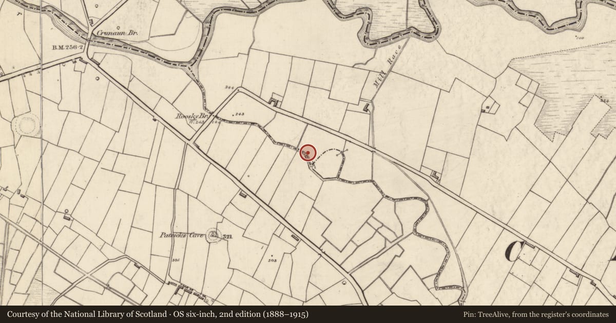
The record
- Townland
- Roosky (Frenchpark By.)
- County
- Roscommon
- Country
- Ireland
- First-edition OS map
- Not indicated
- Latest-edition OS map
- Not indicated
- Coordinates
- 53.87519, -8.60054
- SMR number
- RO014-083----
Slide toward Today to fade the historical sheet and see the modern map underneath.
David Rumsey Map Collection, Stanford LibrariesDavid Rumsey Map Collection, Stanford LibrariesDavid Rumsey Map Collection, Stanford LibrariesDavid Rumsey Map Collection, Stanford Libraries
4 historical maps cover this location, the earliest the 1790 map "Composite: Ireland." (David Rumsey Map Collection, Stanford Libraries).
Historical maps covering this location
- 1790 · Composite: Ireland. (David Rumsey Map Collection, Stanford Libraries)
- 1811 · Ireland. (David Rumsey Map Collection, Stanford Libraries)
- 1869 · Ireland. (David Rumsey Map Collection, Stanford Libraries)
- 1891 · Ireland 16 (David Rumsey Map Collection, Stanford Libraries)
This record in the National Monuments Service's Historic Environment Viewer ↗
The National Monuments Service's description
In April 1988 four skulls and other human bones were recovered in dredging operations conducted by the OPW Drainage Division on the SE-NW Roosky River c. 400m from its confluence with the W-E Lung River. The discovery was investigated by Nessa O'Connor of NMI, but the original disposition of the remains could not be discovered. They were acquired by NMI (1988: 227). (Sikora and Cahill 2011, vol. 2, P 511, 7.184)
Compiled by: Michael Moore.
Date of Upload: 20 March, 2012.
References
Sikora, M. and Cahill, M. 2011 Inventory of uninvestigated reports of human remains. In M. Cahill and M. Sikora (eds.), Breaking ground, finding graves – reports on the excavations of burials by the National Museum of Ireland, vol. 2, 447-526.
Nearby in the register
- Penitential stationunder 1 mi
- Burialunder 1 mi
- Ringfort - rathunder 1 mi
- Souterrainunder 1 mi
Other entries of the same register within about three miles of this one, by straight line.