Sites and Monuments Record · Ireland
Road - class 1 togher
Callow Or Runnawillin, County Roscommon, Ireland
The record
- Townland
- Callow Or Runnawillin
- County
- Roscommon
- Country
- Ireland
- First-edition OS map
- Not indicated
- Latest-edition OS map
- Not indicated
- Coordinates
- 53.91654, -8.51056
- SMR number
- RO008-027----
Slide toward Today to fade the historical sheet and see the modern map underneath.
David Rumsey Map Collection, Stanford LibrariesDavid Rumsey Map Collection, Stanford LibrariesDavid Rumsey Map Collection, Stanford LibrariesDavid Rumsey Map Collection, Stanford Libraries
4 historical maps cover this location, the earliest the 1790 map "Composite: Ireland." (David Rumsey Map Collection, Stanford Libraries).
Historical maps covering this location
- 1790 · Composite: Ireland. (David Rumsey Map Collection, Stanford Libraries)
- 1811 · Ireland. (David Rumsey Map Collection, Stanford Libraries)
- 1869 · Ireland. (David Rumsey Map Collection, Stanford Libraries)
- 1891 · Ireland 16 (David Rumsey Map Collection, Stanford Libraries)
This record in the National Monuments Service's Historic Environment Viewer ↗
The National Monuments Service's description
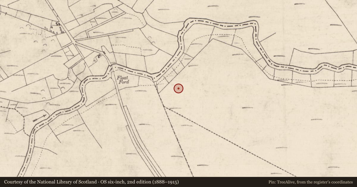
In cut-away bog on flat, low-lying ground on the S bank of the W-E River Lung, 1.3m below the surface of Callow Bog. Investigated in 1966 by E. Rynne. A NNE-SSW timber road (L c. 100m) leading to what must have been a fording point across the Lung River where it was continued by togher (RO008-016----) on the N bank. One or two logitudinal planks (oak) retained by vertical pegs (oak) formed a narrow walking surface (Wth 0.2-0.4m). Radiocarbon dated to 1433-1316 BC (3115±25 BP; GrN-14729) (Brindley and Lanting 1998, 54-5), it is not now visible at ground level although it may survive in uncut sections of bog. (NMI file; Golden 1992)
Compiled by: Michael Moore
Date of upload: 24 August 2010
References
Golden, R. 1992 Two bog trackways in Creggane, Co. Roscommon close to the Lung river. Journal of the Roscommon Historical and Archaeological Society 4, 41-2.
Brindley, A.L. and Lanting, J. 1998 Radiocarbon dating for Irish trackways. Journal of Irish Archaeology, 9, 45-68.
Nearby in the register
- Road - class 1 togherunder 1 mi
- Crannogunder 1 mi
- Children's burial groundunder 1 mi
- Ringfort - unclassifiedunder 1 mi
Other entries of the same register within about three miles of this one, by straight line.