Sites and Monuments Record · Ireland
Graveyard
Churchland, County Offaly, Ireland
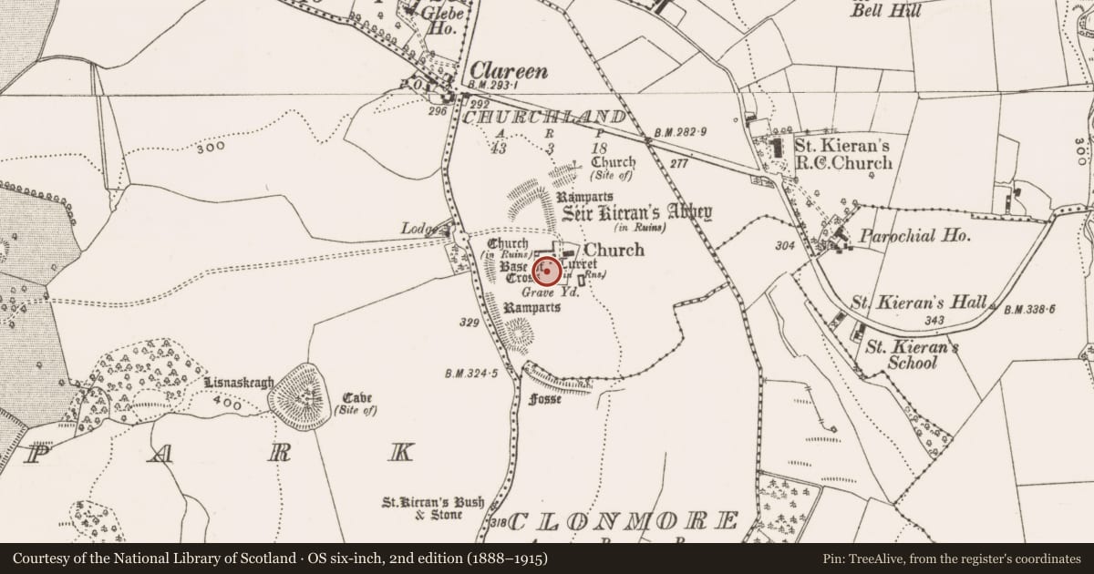
The record
- Townland
- Churchland
- County
- Offaly
- Country
- Ireland
- First-edition OS map
- Burying Ground
- Latest-edition OS map
- Grave. Yd.
- Coordinates
- 53.07048, -7.79326
- SMR number
- OF039-003007-
Slide toward Today to fade the historical sheet and see the modern map underneath.
David Rumsey Map Collection, Stanford LibrariesDavid Rumsey Map Collection, Stanford LibrariesDavid Rumsey Map Collection, Stanford LibrariesDavid Rumsey Map Collection, Stanford Libraries
4 historical maps cover this location, the earliest the 1790 map "Composite: Ireland." (David Rumsey Map Collection, Stanford Libraries).
Historical maps covering this location
- 1790 · Composite: Ireland. (David Rumsey Map Collection, Stanford Libraries)
- 1811 · Ireland. (David Rumsey Map Collection, Stanford Libraries)
- 1869 · Ireland. (David Rumsey Map Collection, Stanford Libraries)
- 1891 · Ireland 16 (David Rumsey Map Collection, Stanford Libraries)
This record in the National Monuments Service's Historic Environment Viewer ↗
The National Monuments Service's description
Large square-shaped graveyard with poorly preserved church (OF039-003005-) with gun turret at SE angle, base of round tower (OF039-003003-) at NW angle, base of high cross (OF039-003002-), cross-slabs, architectural fragments, 19th-century C of I church and earthworks of a deserted medieval settlement enclosing graveyard from S through W to N and low motte (OF039-003----) to SW, all of which is contained within the impressive remains of a bivallate ecclesiastical enclosure (OF039-003001-). Founded by St. Kieran the elder in the fifth century (ITA Survey 1943). Poorly preserved remains of a long rectangular church (OF039-003005-) situated in N quadrant of large square-shaped graveyard. The N wall of the medieval church actually forms the N boundary wall of the graveyard. 19th century C of I church located in E quadrant of graveyard. Base of high cross located in centre of graveyard. Possible medieval building located in SE angle of graveyard.
Compiled by: Caimin O'Brien.
Date of upload: 23 May 2011
Nearby in the register
- Cross-slabunder 1 mi
- Cross - High crossunder 1 mi
- Cross - High crossunder 1 mi
- Headstoneunder 1 mi
Other entries of the same register within about three miles of this one, by straight line.