Sites and Monuments Record · Ireland
Barrow - pond barrow
Coolcreen, County Offaly, Ireland
The record
- Townland
- Coolcreen
- County
- Offaly
- Country
- Ireland
- First-edition OS map
- Not indicated
- Latest-edition OS map
- Not indicated
- Coordinates
- 53.11094, -7.65788
- SMR number
- OF037-008005-
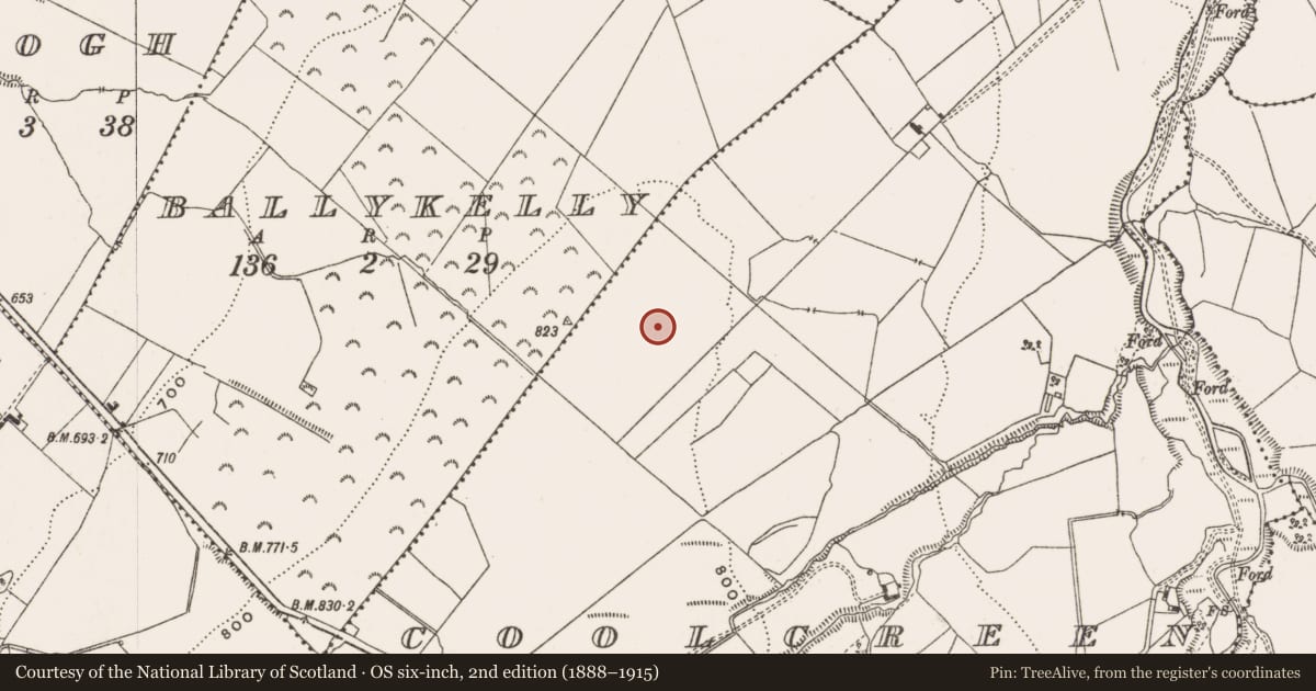
Slide toward Today to fade the historical sheet and see the modern map underneath.
David Rumsey Map Collection, Stanford LibrariesDavid Rumsey Map Collection, Stanford LibrariesDavid Rumsey Map Collection, Stanford LibrariesDavid Rumsey Map Collection, Stanford Libraries
4 historical maps cover this location, the earliest the 1790 map "Composite: Ireland." (David Rumsey Map Collection, Stanford Libraries).
Historical maps covering this location
- 1790 · Composite: Ireland. (David Rumsey Map Collection, Stanford Libraries)
- 1811 · Ireland. (David Rumsey Map Collection, Stanford Libraries)
- 1869 · Ireland. (David Rumsey Map Collection, Stanford Libraries)
- 1891 · Ireland 16 (David Rumsey Map Collection, Stanford Libraries)
This record in the National Monuments Service's Historic Environment Viewer ↗
The National Monuments Service's description
Located on top of high ground in mountainous area with good views in all directions. One of a group of 5 barrows (OF038-008001/002/003/004-) located in close proximity to each other. According to local tradition these barrows are located on a hilltop which was the inauguration site of the O’Flanagans of Cinél Arga (Feehan 1979, 143). It is possible that these burial mounds form part of a ritual landscape associated with this inauguration site.
Compiled by: Caimin O'Brien.
Date of upload: 09 August 2012
References
Feehan, J. 1979 The Landscape of the Slieve Bloom. A study of its natural and human heritage. Dublin. Blackwater.
Nearby in the register
- Barrow - bowl-barrowunder 1 mi
- Barrow - unclassifiedunder 1 mi
- Barrow - mound barrowunder 1 mi
- Barrow - ring-barrowunder 1 mi
Other entries of the same register within about three miles of this one, by straight line.