Sites and Monuments Record · Ireland
Burial
Ballincloghan Little, County Offaly, Ireland
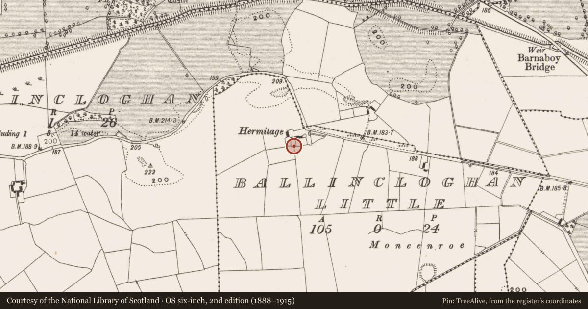
The record
- Townland
- Ballincloghan Little
- County
- Offaly
- Country
- Ireland
- Latest-edition OS map
- Not indicated
- Coordinates
- 53.18098, -7.75036
- SMR number
- OF031-070----
Slide toward Today to fade the historical sheet and see the modern map underneath.
David Rumsey Map Collection, Stanford LibrariesDavid Rumsey Map Collection, Stanford LibrariesDavid Rumsey Map Collection, Stanford LibrariesDavid Rumsey Map Collection, Stanford Libraries
4 historical maps cover this location, the earliest the 1790 map "Composite: Ireland." (David Rumsey Map Collection, Stanford Libraries).
Historical maps covering this location
- 1790 · Composite: Ireland. (David Rumsey Map Collection, Stanford Libraries)
- 1811 · Ireland. (David Rumsey Map Collection, Stanford Libraries)
- 1869 · Ireland. (David Rumsey Map Collection, Stanford Libraries)
- 1891 · Ireland 16 (David Rumsey Map Collection, Stanford Libraries)
This record in the National Monuments Service's Historic Environment Viewer ↗
The National Monuments Service's description
The files of the National Museum of Ireland records that in November 1968 human remains were discovered at a house called 'The Hermitage' near Kilcormac, Co. Offaly (Cahill & Sikora 2011, vol. 2, 506). This house is indicated on the current edition of the OS six inch map. The remains were discovered during excavations for a septic tank on the site of a dwelling house. The site was reported to the Gardai at Kilcormac who visited the site and removed the bones, stating that they were approximately 400 years old. The landowner, Mrs Maxwell, then reported the discovery to the NMI. According to the Garda who investigated the site, the remains were approximately 0.3m below ground level and did not constitute a complete human body. The site was kept under surveillance but was not investigated by the NMI. The remains were not acquired (NMI file).
References
Cahill, M. and Sikora, M. (eds) 2011 Breaking ground, finding graves - reports on the excavations of burials by the National Museum of Ireland, 1927-2006, 2 vols. Dublin. Wordwell Ltd. in association with the National Museum of Ireland.
Nearby in the register
- Enclosureunder 1 mi
- Enclosureunder 1 mi
- Castle - unclassifiedunder 1 mi
- Ringfort - rathunder 1 mi
Other entries of the same register within about three miles of this one, by straight line.