Sites and Monuments Record · Ireland
Graveyard
Killowney Beg, County Offaly, Ireland
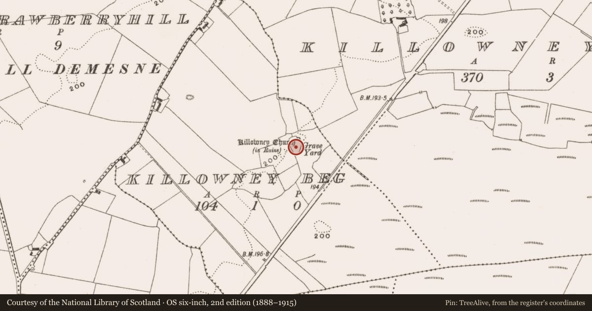
The record
- Townland
- Killowney Beg
- County
- Offaly
- Country
- Ireland
- First-edition OS map
- Grave Yard
- Latest-edition OS map
- Grave Yard
- Coordinates
- 53.23593, -7.87131
- SMR number
- OF022-012002-
Slide toward Today to fade the historical sheet and see the modern map underneath.
David Rumsey Map Collection, Stanford LibrariesDavid Rumsey Map Collection, Stanford LibrariesDavid Rumsey Map Collection, Stanford LibrariesDavid Rumsey Map Collection, Stanford Libraries
4 historical maps cover this location, the earliest the 1790 map "Composite: Ireland." (David Rumsey Map Collection, Stanford Libraries).
Historical maps covering this location
- 1790 · Composite: Ireland. (David Rumsey Map Collection, Stanford Libraries)
- 1811 · Ireland. (David Rumsey Map Collection, Stanford Libraries)
- 1869 · Ireland. (David Rumsey Map Collection, Stanford Libraries)
- 1891 · Ireland 16 (David Rumsey Map Collection, Stanford Libraries)
This record in the National Monuments Service's Historic Environment Viewer ↗
The National Monuments Service's description
Poorly preserved ruins of a rectangular church (OF022-012001-) stand in N quadrant of graveyard. The N wall of the church formed part of the N wall of the graveyard which was built in the 19th century. The graveyard has been extended to the N and E in recent times. A lugged mortar has been built up against the E face of the S wall of the old graveyard boundary. Graveyard contains 18th/19th-century headstones and is entered from through a gateway located in S wall. Remains of a coffin stand and stile are incorprorated into the graveyard wall to the W of this gateway. Large car park has been built in field to S of graveyard. Irregular earthworks outside W wall of graveyard may be associated with church. Traces of possible ecclesiastical enclosure (OF022-012005-) in fields to N, NE and SW of graveyard.
The above description is derived from the published 'Archaeological Inventory of County Offaly' (Dublin: Stationery Office, 1997). In certain instances the entries have been revised and updated in the light of recent research.
Compiled by: Caimin O'Brien
Date of revision: 27 November 2014
Nearby in the register
- Churchunder 1 mi
- Ecclesiastical enclosureunder 1 mi
- Fulacht fiaunder 1 mi
- Fulacht fiaunder 1 mi
Other entries of the same register within about three miles of this one, by straight line.