Sites and Monuments Record · Ireland
Armorial plaque
Townparks (Phillipstown Lower By.), County Offaly, Ireland
The record
- Townland
- Townparks (Phillipstown Lower By.)
- County
- Offaly
- Country
- Ireland
- Coordinates
- 53.29295, -7.29182
- SMR number
- OF018-006011-
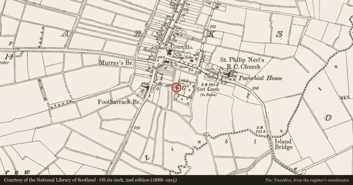
Slide toward Today to fade the historical sheet and see the modern map underneath.
David Rumsey Map Collection, Stanford LibrariesDavid Rumsey Map Collection, Stanford LibrariesDavid Rumsey Map Collection, Stanford LibrariesDavid Rumsey Map Collection, Stanford Libraries
4 historical maps cover this location, the earliest the 1790 map "Composite: Ireland." (David Rumsey Map Collection, Stanford Libraries).
Historical maps covering this location
- 1790 · Composite: Ireland. (David Rumsey Map Collection, Stanford Libraries)
- 1811 · Ireland. (David Rumsey Map Collection, Stanford Libraries)
- 1869 · Ireland. (David Rumsey Map Collection, Stanford Libraries)
- 1891 · Ireland 16 (David Rumsey Map Collection, Stanford Libraries)
This record in the National Monuments Service's Historic Environment Viewer ↗
The National Monuments Service's description
Two rectangular shaped limestone plaques, one of which is now in the Library (OF018-006010-), the other is in Castlebarnagh golf clubhouse (OF018-008----) and said to have come from the gate piers of the entrance to the Fort Castle (OF018-006001-). Both decorated in false relief with achievement of arms and dating to mid-sixteenth century. (JKAS 1941 275-78).
Nearby in the register
- Armorial plaqueunder 1 mi
- Castle - unclassifiedunder 1 mi
- Bawnunder 1 mi
- Graveyardunder 1 mi
Other entries of the same register within about three miles of this one, by straight line.