Sites and Monuments Record · Ireland
Road - class 3 togher
Ballydaly, County Offaly, Ireland
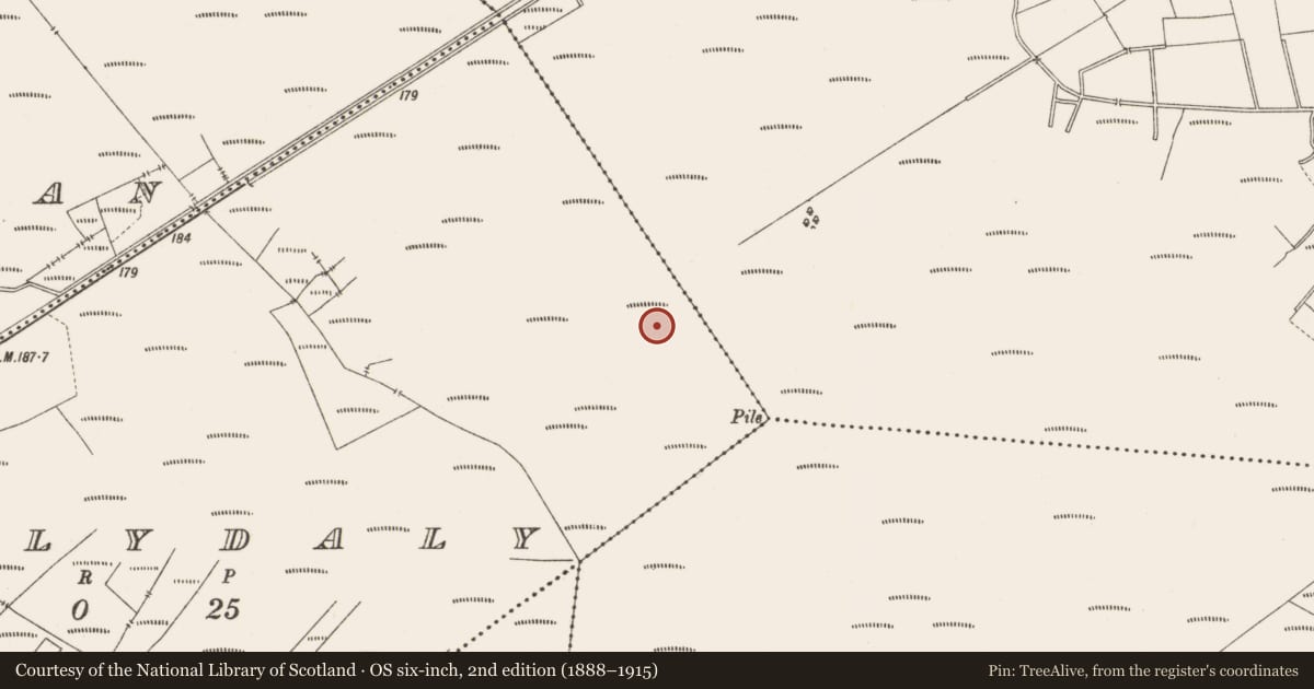
The record
- Townland
- Ballydaly
- County
- Offaly
- Country
- Ireland
- First-edition OS map
- NULL
- Latest-edition OS map
- Not indicated
- Coordinates
- 53.28225, -7.76232
- SMR number
- OF015-141----
Slide toward Today to fade the historical sheet and see the modern map underneath.
David Rumsey Map Collection, Stanford LibrariesDavid Rumsey Map Collection, Stanford LibrariesDavid Rumsey Map Collection, Stanford LibrariesDavid Rumsey Map Collection, Stanford Libraries
4 historical maps cover this location, the earliest the 1790 map "Composite: Ireland." (David Rumsey Map Collection, Stanford Libraries).
Historical maps covering this location
- 1790 · Composite: Ireland. (David Rumsey Map Collection, Stanford Libraries)
- 1811 · Ireland. (David Rumsey Map Collection, Stanford Libraries)
- 1869 · Ireland. (David Rumsey Map Collection, Stanford Libraries)
- 1891 · Ireland 16 (David Rumsey Map Collection, Stanford Libraries)
This record in the National Monuments Service's Historic Environment Viewer ↗
The National Monuments Service's description
The partial remains of a hurdle panel (L 0.56m; Wth 0.48m min.; D 0.1m) orientated ENE-WSW in the drain face. The sails (diam. 0.018-0.032m) were grouped irregularly, with two placed together at the N end of the site, three in the centre and one towards the SE end of the site. The rods (diam. 0.01-0.015m) were confined to the W end of the site which was truncated by the drain. The rods did not extend beyond the outermost sails and were irregularly woven. Four sails had metal-cut chisel points. On the whole, the site appeared to be the fragmentary remnants of a hurdle which had been subject to ancient and recent disturbance. The site lay in poorly humified Sphagnum and Eriophorum peat. It was one of seven sites in close proximity in a 19m long stretch of this drain face, including a leather shoe (92E148:05), recovered 1.38m to the NW, and SMR OF015-167---- 0.25m above the site.
Compiled by: Irish Archaeological Wetland Unit (University College Dublin).
Date of upload: 23 May 2011
Nearby in the register
- Structure - peatlandunder 1 mi
- Structure - peatlandunder 1 mi
- Structure - peatlandunder 1 mi
- Structure - peatlandunder 1 mi
Other entries of the same register within about three miles of this one, by straight line.