Sites and Monuments Record · Ireland
Graveyard
Shean, County Offaly, Ireland
The record
- Townland
- Shean
- County
- Offaly
- Country
- Ireland
- First-edition OS map
- NULL
- Latest-edition OS map
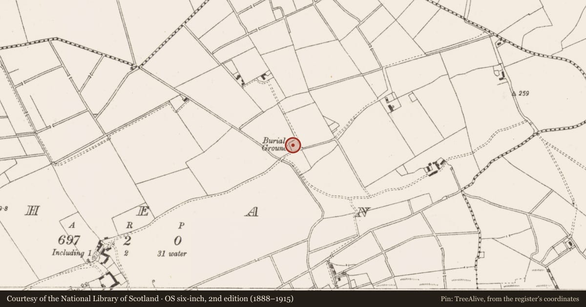
- Burial Ground
- Coordinates
- 53.30656, -7.05973
- SMR number
- OF012-007002-
Slide toward Today to fade the historical sheet and see the modern map underneath.
David Rumsey Map Collection, Stanford LibrariesDavid Rumsey Map Collection, Stanford LibrariesDavid Rumsey Map Collection, Stanford LibrariesDavid Rumsey Map Collection, Stanford Libraries
4 historical maps cover this location, the earliest the 1790 map "Composite: Ireland." (David Rumsey Map Collection, Stanford Libraries).
Historical maps covering this location
- 1790 · Composite: Ireland. (David Rumsey Map Collection, Stanford Libraries)
- 1799 · Ireland. (David Rumsey Map Collection, Stanford Libraries)
- 1869 · Ireland. (David Rumsey Map Collection, Stanford Libraries)
- 1891 · Ireland 16 (David Rumsey Map Collection, Stanford Libraries)
This record in the National Monuments Service's Historic Environment Viewer ↗
The National Monuments Service's description
According to the OS letters this was a small graveyard with a slight rise in centre which may possibly indicate foundations of a building (O'Flanagan 1927,30). No surface remains of any church (OF012-007001-) inside small square shaped graveyard which rises in the centre. According to local information skeletons were unearthed during ploughing of the field immediately to the S of the graveyard. No reason to assume church ever located inside graveyard.
Compiled by: Caimin O'Brien.
Date of upload: 23 May 2011
Nearby in the register
- Churchunder 1 mi
- Barrow - ring-barrowunder 1 mi
- Standing stoneunder 1 mi
- Castle - motte and bailey1 mi
Other entries of the same register within about three miles of this one, by straight line.