Sites and Monuments Record · Ireland
Font
Monasteroris, County Offaly, Ireland
The record
- Townland
- Monasteroris
- County
- Offaly
- Country
- Ireland
- First-edition OS map
- NULL
- Latest-edition OS map
- Not indicated
- Coordinates
- 53.34635, -7.08544
- SMR number
- OF011-009007-
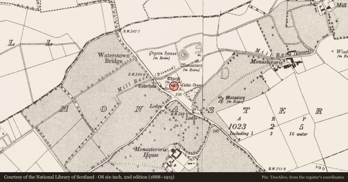
Slide toward Today to fade the historical sheet and see the modern map underneath.
David Rumsey Map Collection, Stanford LibrariesDavid Rumsey Map Collection, Stanford LibrariesDavid Rumsey Map Collection, Stanford LibrariesDavid Rumsey Map Collection, Stanford Libraries
4 historical maps cover this location, the earliest the 1790 map "Composite: Ireland." (David Rumsey Map Collection, Stanford Libraries).
Historical maps covering this location
- 1790 · Composite: Ireland. (David Rumsey Map Collection, Stanford Libraries)
- 1799 · Ireland. (David Rumsey Map Collection, Stanford Libraries)
- 1869 · Ireland. (David Rumsey Map Collection, Stanford Libraries)
- 1891 · Ireland 16 (David Rumsey Map Collection, Stanford Libraries)
This record in the National Monuments Service's Historic Environment Viewer ↗
The National Monuments Service's description
Now situated on a pillar at the back of R.C. church in Edenderry but said to have come from Monasteroris (OF011-009007-), medieval octagonal shaped font (max W. 0.4m,H. 0.35m) with circular basin (D. 0.25m, diam 0.33m). Diagonal tooling on its outer faces indicating a 12th or 13th century date. Inscription on one face of the font reads 'MF O S F 1290', which is probably a later addition.
Nearby in the register
- Religious house - Franciscan friarsunder 1 mi
- Headstoneunder 1 mi
- Graveyardunder 1 mi
- Headstoneunder 1 mi
Other entries of the same register within about three miles of this one, by straight line.