Sites and Monuments Record · Ireland
Habitation site
Clonfinlough, County Offaly, Ireland
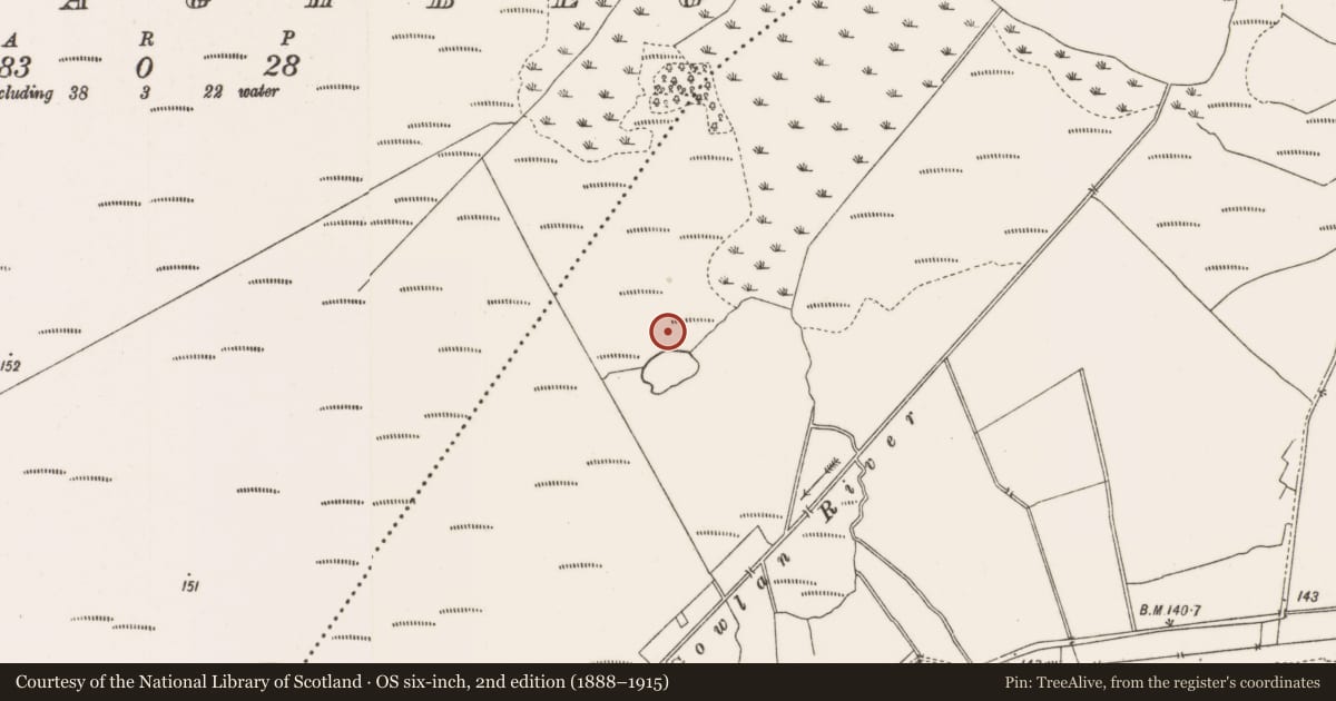
The record
- Townland
- Clonfinlough
- County
- Offaly
- Country
- Ireland
- First-edition OS map
- NULL
- Latest-edition OS map
- Not indicated
- Coordinates
- 53.31035, -7.95588
- SMR number
- OF006-075----
Slide toward Today to fade the historical sheet and see the modern map underneath.
David Rumsey Map Collection, Stanford LibrariesDavid Rumsey Map Collection, Stanford LibrariesDavid Rumsey Map Collection, Stanford LibrariesDavid Rumsey Map Collection, Stanford Libraries
4 historical maps cover this location, the earliest the 1790 map "Composite: Ireland." (David Rumsey Map Collection, Stanford Libraries).
Historical maps covering this location
- 1790 · Composite: Ireland. (David Rumsey Map Collection, Stanford Libraries)
- 1811 · Ireland. (David Rumsey Map Collection, Stanford Libraries)
- 1869 · Ireland. (David Rumsey Map Collection, Stanford Libraries)
- 1891 · Ireland 16 (David Rumsey Map Collection, Stanford Libraries)
This record in the National Monuments Service's Historic Environment Viewer ↗
The National Monuments Service's description
A settlement (L 50m; Wth 40m) situated between Finlough and Blackwater bog. It consisted of two house platforms, each 9m in maximum diameter, a hut platform and a working platform partially enclosed by a palisade of ash posts. The houses were large structures, built up from the surface of the bog with a boxed wattle substructure, timber and stone floors, doubled wattle walls and porch entrances. The palisade enclosed an oval area 50m by 40m. It consisted of a single line of ash posts. Finds included several flat-bottomed coarse ware pots, amber beads, saddle querns and rubbing stones, a stone adze, a possible churn piece, several enigmatic grooved timbers, wicker baskets and the damaged remains of a pair of large perforated paddles. The site was dated to 908±9 BC or later (Q8225) with a repair to one of the house platforms at 886 BC (Q8496). Excavated by the I.A.W.U. in 1990 and 1991. (Irish Archaeological Wetland Unit (UCD) 1993)
Compiled by: Irish Archaeological Wetland Unit (University College Dublin).
Date of upload: 23 May 2011
Nearby in the register
- Crannogunder 1 mi
- Causewayunder 1 mi
- Crannogunder 1 mi
- Linear earthworkunder 1 mi
Other entries of the same register within about three miles of this one, by straight line.