Sites and Monuments Record · Ireland
Cross-inscribed stone
Kilmanaghan, County Offaly, Ireland
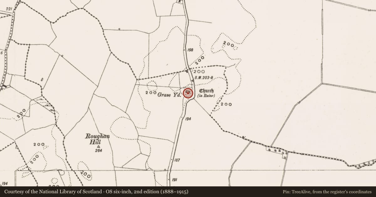
The record
- Townland
- Kilmanaghan
- County
- Offaly
- Country
- Ireland
- First-edition OS map
- Not indicated
- Latest-edition OS map
- Not indicated
- Coordinates
- 53.36403, -7.65737
- SMR number
- OF002-030003-
Slide toward Today to fade the historical sheet and see the modern map underneath.
David Rumsey Map Collection, Stanford LibrariesDavid Rumsey Map Collection, Stanford LibrariesDavid Rumsey Map Collection, Stanford LibrariesDavid Rumsey Map Collection, Stanford Libraries
4 historical maps cover this location, the earliest the 1790 map "Composite: Ireland." (David Rumsey Map Collection, Stanford Libraries).
Historical maps covering this location
- 1790 · Composite: Ireland. (David Rumsey Map Collection, Stanford Libraries)
- 1811 · Ireland. (David Rumsey Map Collection, Stanford Libraries)
- 1869 · Ireland. (David Rumsey Map Collection, Stanford Libraries)
- 1891 · Ireland 16 (David Rumsey Map Collection, Stanford Libraries)
This record in the National Monuments Service's Historic Environment Viewer ↗
The National Monuments Service's description
Located on high ground with extensive views of undulating countryside. Well preserved church ruins (OF002-030001-) standing in centre of an oval-shaped graveyard (OF002-030002-) which may follow the line of an Early Christian enclosure (OF002-030----). The townland and parish name of Kilmanaghan [Cill Mhancháin] meaning church of Manchán, may be a reference to a possible monastic foundation at this location which is associated with Saint Manchán of Lemanaghan (OF015-004003-). Ivy-covered Early Christian cross-inscribed slab (dims. 0.5m x 0.26m) consisting of an incised cross of arcs enclosed by an incised double line circle found during a clean up of the graveyard in 1971 and subsequently built into external face of S wall of church ruins (Fanning and Ó hÉailidhe 1980, 13). This carved slab is located 0.75m W of window located at E end of S wall of church.
The above description is derived from the published 'Archaeological Inventory of County Offaly' (Dublin: Stationery Office, 1997). In certain instances the entries have been revised and updated in the light of recent research.
See attached line drawing of cross-inscribed slab taken from Fanning and Ó hÉailidhe 1980.
Compiled and revised by: Caimin O'Brien
Date of revision: 30 September 2014
References
Fanning, T. and Ó hÉailidhe, P. 1980 Some cross-inscribed slabs from the Irish Midlands. In H. Murtagh (ed.), Irish Midland studies: essays in commemoration of N.W. English, 5-23. Athlone. Old Athlone Society.
Nearby in the register
- Churchunder 1 mi
- Bullaun stoneunder 1 mi
- Graveyardunder 1 mi
- Ecclesiastical enclosureunder 1 mi
Other entries of the same register within about three miles of this one, by straight line.