Sites and Monuments Record · Ireland
Fulacht fia
Grig, County Monaghan, Ireland
The record
- Townland
- Grig
- County
- Monaghan
- Country
- Ireland
- First-edition OS map
- Not indicated
- Latest-edition OS map
- Not indicated
- Coordinates
- 54.13536, -6.77490
- SMR number
- MO019-049001-
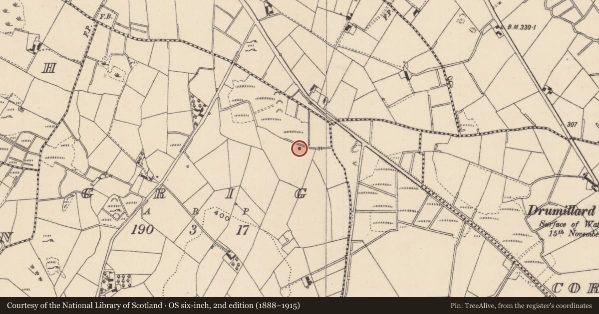
Slide toward Today to fade the historical sheet and see the modern map underneath.
David Rumsey Map Collection, Stanford LibrariesDavid Rumsey Map Collection, Stanford LibrariesDavid Rumsey Map Collection, Stanford LibrariesDavid Rumsey Map Collection, Stanford Libraries
4 historical maps cover this location, the earliest the 1636 map "Vltoniae Orientalis Pars" (David Rumsey Map Collection, Stanford Libraries).
Historical maps covering this location
- 1636 · Vltoniae Orientalis Pars (David Rumsey Map Collection, Stanford Libraries)
- 1790 · Composite: Ireland. (David Rumsey Map Collection, Stanford Libraries)
- 1811 · Ireland. (David Rumsey Map Collection, Stanford Libraries)
- 1891 · Ireland 16 (David Rumsey Map Collection, Stanford Libraries)
This record in the National Monuments Service's Historic Environment Viewer ↗
The National Monuments Service's description
Fulacht fia: Situated towards the bottom of an E-facing slope in a low-lying landscape between drumlins. An archaeological excavation (05E0783) carried out as part of the N2 Castleblayney to Clontibret road realignment scheme at a site known as Grig 2 uncovered the remains of three possible cooking troughs. The pits were shallow and contained concentrations of burnt material. A charcoal sample from the largest pit (dims 2.6m x 2.4m D 0.3m) produced a C14 date of 3755+-30 BP, which calibrates to 2290-2030 BC. Another trough (MO019-049----), located c. 15m to the SE produced a date in the first millennium AD.
It is probable that two fulachta fia, widely separated in time, are involved, each being paired with a trough of the same time period from the two fulachta fia (MO019-050----; MO019-050001-) located c. 130m to the S. (Halpin B. 2008; 2010, 6, 11, XII).
Compiled by: Michael Moore
Date of upload: 22 June 2018
References
Halpin, B. 2010: Archaeological Excavation of Development at N2 Clontibret to Castleblayney Road Realignment, Licence No. 05E0783; Site name Grig 2. Unpublished Final Report, Irish Archaeological Consultancy
Halpin B. 2008, Grig 2 Circular burnt spread/possible kiln. In I. Bennett (ed.), Excavations 2005: summary accounts of archaeological excavations in Ireland, 312 (No. 1270). Bray. Wordwell
Nearby in the register
- Fulacht fiaunder 1 mi
- Fulacht fiaunder 1 mi
- Fulacht fiaunder 1 mi
- Ringfort - rathunder 1 mi
Other entries of the same register within about three miles of this one, by straight line.