Sites and Monuments Record · Ireland
Megalithic tomb - court tomb
Carn (Monaghan, By.), County Monaghan, Ireland
The record
- Townland
- Carn (Monaghan, By.)
- County
- Monaghan
- Country
- Ireland
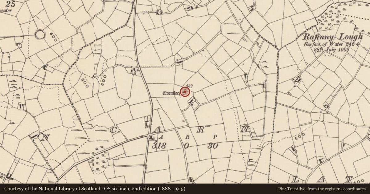
- First-edition OS map
- Cromlech Carn
- Latest-edition OS map
- Cromlech
- Coordinates
- 54.17946, -7.06596
- SMR number
- MO013-029----
Slide toward Today to fade the historical sheet and see the modern map underneath.
David Rumsey Map Collection, Stanford LibrariesDavid Rumsey Map Collection, Stanford LibrariesDavid Rumsey Map Collection, Stanford LibrariesDavid Rumsey Map Collection, Stanford Libraries
4 historical maps cover this location, the earliest the 1636 map "Vltoniae Orientalis Pars" (David Rumsey Map Collection, Stanford Libraries).
Historical maps covering this location
- 1636 · Vltoniae Orientalis Pars (David Rumsey Map Collection, Stanford Libraries)
- 1790 · Composite: Ireland. (David Rumsey Map Collection, Stanford Libraries)
- 1869 · Ireland. (David Rumsey Map Collection, Stanford Libraries)
- 1891 · Ireland 16 (David Rumsey Map Collection, Stanford Libraries)
This record in the National Monuments Service's Historic Environment Viewer ↗
The National Monuments Service's description
Situated on top of a drumlin. It is well-known in the folk tradition (IFC: (949) 344-5, 482-3; (950) 496-7: https://www.duchas.ie/en/cbes ), and although no name is associated with it two rather similar and very accurate sketch plans are provided by this sourece. A grass-covered trapezoidal cairn (dims 35m NE-SW; 22m NW-SE at NE) incorporates a deep U-shaped court (Wth 6.5m; D 6.5m) at the broader NE end. Two stones, one at either side of the court are probably façade stones. The court gives access to a gallery (L 9.3m; Wth 1.5m) divided by jambs into three chambers, the end chamber being represented by a single jambstone and the backstone. A fallen lintel lies inside the entrance to the gallery. (Ó Nualláin 1977, 52-60)
The above description is derived from the published 'Archaeological Inventory of County Monaghan' (Dublin: Stationery Office, 1986). In certain instances the entries have been revised and updated in the light of recent research.
See the attached images: _1 from OSI (1835); _2 after Ó Nualláin 1977; _3 from IFC (949) 345; _2
Compiled by: Michael Moore
Date of revision: 23 February 2018
References
IFC Schools' MSS: Irish Folklore Commission Schools' Manuscripts. Department of Folklore. University College, Dublin.
Ó Nualláin, S. 1977 A dual Court-tomb at Garran Townland, county Monaghan. Journal of the Royal Society of Antiquaries of Ireland, vol. 107, 520-60.
Nearby in the register
- Ringfort - rathunder 1 mi
- Megalithic tomb - unclassifiedunder 1 mi
- Headstoneunder 1 mi
- Earthworkunder 1 mi
Other entries of the same register within about three miles of this one, by straight line.