Sites and Monuments Record · Ireland
Cross
Clonamully, County Monaghan, Ireland
The record
- Townland
- Clonamully
- County
- Monaghan
- Country
- Ireland
- First-edition OS map
- Not indicated
- Latest-edition OS map
- Not indicated
- Coordinates
- 54.25552, -7.08129
- SMR number
- MO008-018----
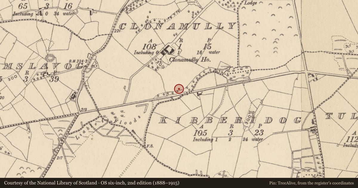
Slide toward Today to fade the historical sheet and see the modern map underneath.
David Rumsey Map Collection, Stanford LibrariesDavid Rumsey Map Collection, Stanford LibrariesDavid Rumsey Map Collection, Stanford LibrariesDavid Rumsey Map Collection, Stanford Libraries
4 historical maps cover this location, the earliest the 1636 map "Vltoniae Orientalis Pars" (David Rumsey Map Collection, Stanford Libraries).
Historical maps covering this location
- 1636 · Vltoniae Orientalis Pars (David Rumsey Map Collection, Stanford Libraries)
- 1790 · Composite: Ireland. (David Rumsey Map Collection, Stanford Libraries)
- 1869 · Ireland. (David Rumsey Map Collection, Stanford Libraries)
- 1891 · Ireland 16 (David Rumsey Map Collection, Stanford Libraries)
This record in the National Monuments Service's Historic Environment Viewer ↗
The National Monuments Service's description
Located on a low-lying landscape with drumlins to the N and S and with a small NE-SW stream or drain c. 20m to the S. An early pyramidal cross base (dims of base 0.68m x 0.64m; dims of top 0.38m x 0.33m; H 0.49m) with a mortice (dims 0.25m x 0.18m; D 0.1m), indications of moulding at the sloping angles and an uneven base (D 0.35m plus) is partly buried in the field. According to local reports a portion of a stone cross was found nearby some years previously while cutting drains and was reburied in the same area. The stone is known as the ‘wart stone’ and it had a cure for warts as recorded in the Schools Manuscripts in the 1930s, for which see this web-page accessed on 15/08/2017: https://www.duchas.ie/en/cbes/4723873/4721221/4814213
The above description is derived from the published 'Archaeological Inventory of County Monaghan' (Dublin: Stationery Office, 1986). In certain instances the entries have been revised and updated in the light of recent research.
Date of revision: 30 August 2017
Nearby in the register
- Ringfort - rathunder 1 mi
- Ringfort - rathunder 1 mi
- Earthworkunder 1 mi
- Ringfort - rathunder 1 mi
Other entries of the same register within about three miles of this one, by straight line.