Sites and Monuments Record · Ireland
Burnt spread
Portan (Dunboyne By.), County Meath, Ireland
The record
- Townland
- Portan (Dunboyne By.)
- County
- Meath
- Country
- Ireland
- First-edition OS map
- Not indicated
- Latest-edition OS map
- Not indicated
- Coordinates
- 53.41555, -6.43220
- SMR number
- ME051-069----
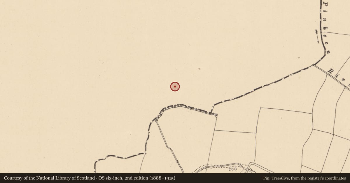
Slide toward Today to fade the historical sheet and see the modern map underneath.
David Rumsey Map Collection, Stanford LibrariesDavid Rumsey Map Collection, Stanford LibrariesDavid Rumsey Map Collection, Stanford LibrariesDavid Rumsey Map Collection, Stanford Libraries
4 historical maps cover this location, the earliest the 1790 map "Composite: Ireland." (David Rumsey Map Collection, Stanford Libraries).
Historical maps covering this location
- 1790 · Composite: Ireland. (David Rumsey Map Collection, Stanford Libraries)
- 1799 · Ireland. (David Rumsey Map Collection, Stanford Libraries)
- 1811 · Ireland. (David Rumsey Map Collection, Stanford Libraries)
- 1891 · Ireland 16 (David Rumsey Map Collection, Stanford Libraries)
This record in the National Monuments Service's Historic Environment Viewer ↗
The National Monuments Service's description
Archaeological monitoring (15E0577) by P. Duffy, D. Bayle and J. Whitaker of topsoil stripping over a large area (c. 92 ha.) conducted intermittently between Dec. 2015 and October 2018 uncovered 37 locations of potential archaeological importance (excavations.ie 2016:051). Each of these was further investigated by the same archaeologists under different licences. At Site 8, which was excavated (16E0117) by D. Bayley (excavations.ie 2016:532), an isolated spread (dims 0.6m x 0.4m; T 0.03m) of a silty clay with inclusions of charcoal and a small amount of undiagnostic burnt bone was recorded. A flint scraper and a piece of debitage was found on its surface. The charcoal was dominated by ash with low levels of alder and oak, and a sample of alder charcoal provided a C14 date of 3521-3371 cal. BC (FTMC-HR36-3) placing it in the Neolithic. (Duffy et. al. 2021, 4)
Compiled by: Michael Moore
Date of upload: 26 April, 2023
Duffy, P., Fairhead, S. & F. Fleeshouven 2021 Final Excavation Report for Sites 3-37, Clonee, Portan, Gunnocks, Co. Meath. Multiple licences, Unpublished report, Irish Archaeological Consultancy
Nearby in the register
- Pitunder 1 mi
- Hearthunder 1 mi
- Pitunder 1 mi
- Field boundaryunder 1 mi
Other entries of the same register within about three miles of this one, by straight line.