Sites and Monuments Record · Ireland
Pit
Dunboyne, County Meath, Ireland
The record
- Townland
- Dunboyne
- County
- Meath
- Country
- Ireland
- First-edition OS map
- Not indicated
- Latest-edition OS map
- Not indicated
- Coordinates
- 53.42973, -6.46508
- SMR number
- ME050-061----
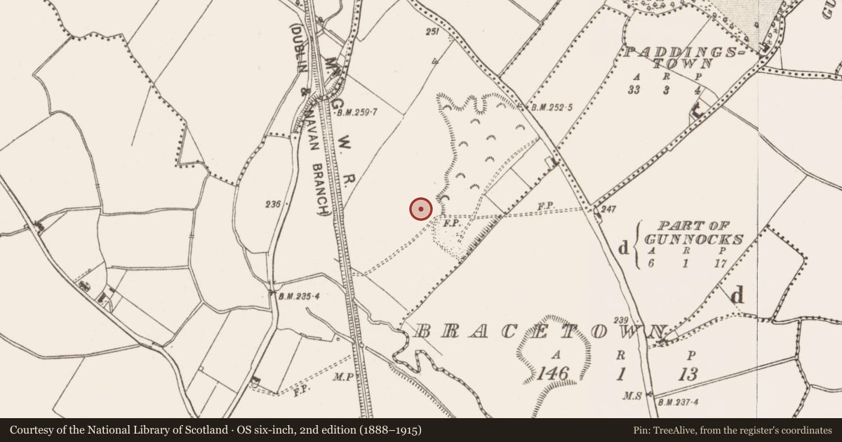
Slide toward Today to fade the historical sheet and see the modern map underneath.
David Rumsey Map Collection, Stanford LibrariesDavid Rumsey Map Collection, Stanford LibrariesDavid Rumsey Map Collection, Stanford LibrariesDavid Rumsey Map Collection, Stanford Libraries
4 historical maps cover this location, the earliest the 1799 map "Ireland." (David Rumsey Map Collection, Stanford Libraries).
Historical maps covering this location
- 1799 · Ireland. (David Rumsey Map Collection, Stanford Libraries)
- 1811 · Ireland. (David Rumsey Map Collection, Stanford Libraries)
- 1830 · V.3:11-15:XV. Britisches Reich. C. Kon: Ireland. a. Prov: Leinster. Counties: 1-12 (David Rumsey Map Collection, Stanford Libraries)
- 1891 · Ireland 16 (David Rumsey Map Collection, Stanford Libraries)
This record in the National Monuments Service's Historic Environment Viewer ↗
The National Monuments Service's description
Archaeological centre-line testing (04E0489) by R. O’Hara of Testing Area 5 of Contract 1 prior to the construction of the M3 motorway identified archaeological features (excavations.ie: 2004:1191) that were excavated (E003035) by the same archaeologist as Dunboyne 3 in August 2005. A kidney-shaped pit (dims 2.5m x 0.6-1.1m; max. D 0.3m) was filled with two light-grey/brown clays that contained bone flecks and frequent charcoal inclusions. Flint and chert debitage as well as 22 sherds from six vessels, a carinated Neolithic bowl and five Beaker vessels, were recovered, and other sherds had been retrieved in the original testing. Two of the Beaker vessels had comb-impressed lines immediately below the rims, and shell-impressed lines could represent all-over ornament on another Beaker vessel. The charcoal was dominated by samples of ash, with elm, oak, hawthorn and hazel also present. The pit probably represents domestic waste from a settlement in the vicinity that is outside the road-corridor. A fragment of ash charcoal from the secondary fill produced a radiocarbon date of 2576-2341 cal. BC. (O’Hara 2008)
Compiled by: Michael Moore
Date of upload: 3 November 2021
O’Hara, R. 2008 M3 Clonee - North of Kells, Contract 1 Clonee – Dunshaughlin. Final Report on the Archaeological Excavation of Dunboyne 3, Co. Meath. Licence: E003035. Unpublished report, Archaeological Consultancy Services
Nearby in the register
- Kiln - corn-dryingunder 1 mi
- Furnaceunder 1 mi
- Structureunder 1 mi
- Burnt moundunder 1 mi
Other entries of the same register within about three miles of this one, by straight line.