Sites and Monuments Record · Ireland
Ring-ditch
Dunboyne, County Meath, Ireland
The record
- Townland
- Dunboyne
- County
- Meath
- Country
- Ireland
- First-edition OS map
- Not indicated
- Latest-edition OS map
- Not indicated
- Coordinates
- 53.42037, -6.46393
- SMR number
- ME050-031----
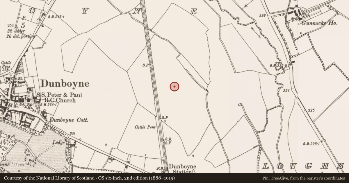
Slide toward Today to fade the historical sheet and see the modern map underneath.
David Rumsey Map Collection, Stanford LibrariesDavid Rumsey Map Collection, Stanford LibrariesDavid Rumsey Map Collection, Stanford LibrariesDavid Rumsey Map Collection, Stanford Libraries
4 historical maps cover this location, the earliest the 1799 map "Ireland." (David Rumsey Map Collection, Stanford Libraries).
Historical maps covering this location
- 1799 · Ireland. (David Rumsey Map Collection, Stanford Libraries)
- 1811 · Ireland. (David Rumsey Map Collection, Stanford Libraries)
- 1830 · V.3:11-15:XV. Britisches Reich. C. Kon: Ireland. a. Prov: Leinster. Counties: 1-12 (David Rumsey Map Collection, Stanford Libraries)
- 1891 · Ireland 16 (David Rumsey Map Collection, Stanford Libraries)
This record in the National Monuments Service's Historic Environment Viewer ↗
The National Monuments Service's description
Located on a level landscape. The cropmark of a small ring-ditch (diam. c. 8m) is visible on Bing images (c. 2013). It is also visible on Google Earth (12/07/2013; 24/06/2018), and is located just N of a modern ENE-WSW field bank with drains on either side that is now removed but the drains are visible as cropmark features. The ring-ditch was first noted by Donal Lucy and the enclosure (ME050-032001-) and ring-ditch (ME050-032002-) are c. 250m to the S. A gradiometer survey (17R0075) by Earthsound confirmed the presence of this feature and identified some other anomalies, which were archaeologically tested (17E0399) by D. McIlreavy (excavations.ie 2017:431). This feature was not tested as it will be preserved in situ within the development (McIlreavy 2017).
See the attached enhanced view from Bing images (2013)
Compiled by: Michael Moore
Date of upload: 24 February, 2016
Amended: 3 November, 2021
References
McIlreavy, D. 2017 Archaeological Assessment at Station Road, Dunboyne, Co. Meath. Licence: 17E0399. Unpublished report, IAC Archaeology
Nearby in the register
- Enclosureunder 1 mi
- Ring-ditchunder 1 mi
- Pit-burialunder 1 mi
- Fulacht fiaunder 1 mi
Other entries of the same register within about three miles of this one, by straight line.