Sites and Monuments Record · Ireland
Enclosure
Ballynakill (Moyfenrath Lower By.), County Meath, Ireland
The record
- Townland
- Ballynakill (Moyfenrath Lower By.)
- County
- Meath
- Country
- Ireland
- First-edition OS map
- Not indicated
- Latest-edition OS map
- Not indicated
- Coordinates
- 53.44629, -6.87820
- SMR number
- ME048-052----
Slide toward Today to fade the historical sheet and see the modern map underneath.
David Rumsey Map Collection, Stanford LibrariesDavid Rumsey Map Collection, Stanford LibrariesDavid Rumsey Map Collection, Stanford LibrariesDavid Rumsey Map Collection, Stanford Libraries
4 historical maps cover this location, the earliest the 1790 map "Composite: Ireland." (David Rumsey Map Collection, Stanford Libraries).
Historical maps covering this location
- 1790 · Composite: Ireland. (David Rumsey Map Collection, Stanford Libraries)
- 1799 · Ireland. (David Rumsey Map Collection, Stanford Libraries)
- 1830 · V.3:11-15:XV. Britisches Reich. C. Kon: Ireland. a. Prov: Leinster. Counties: 1-12 (David Rumsey Map Collection, Stanford Libraries)
- 1891 · Ireland 16 (David Rumsey Map Collection, Stanford Libraries)
This record in the National Monuments Service's Historic Environment Viewer ↗
The National Monuments Service's description
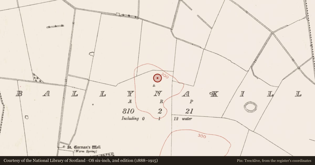
Situated on a locally high hill, with an equally high summit c. 350m to the SSE. The cropmark of a subcircular enclosure (diam. c. 50m N-S) with a protrusion at NE giving it an oval appearance (dim. c. 75-80m NE-SW) is visible on Google Earth (28/06/2018). It is defined by a single fosse feature (Wth c. 2-4m), but no entrance is detected. A fosse or leat (Wth c. 4m) leads from the fosse at S off to the NE, curving around the enclosure but increasing the distance from it as it proceeds (visible L c. 70m). In the interior is a subrectangular area (dims c. 35m N-S; c. 35m E-W) defined by a lighter fosse feature with no visible entrance gap, and there may be a smaller area delimited within this. A NE-SW field bank that is depicted on the 1836 and 1912 editions of the OS 6-inch map approaching from the SW and is visible on the Google image as a double ditch, curves around the enclosure at NW and changes direction to E. The enclosure was first reported by Anthony Murphy and also reported by Jean-Charles Caillére.
Compiled by: Michael Moore
Date of upload: 1 April 2019
Nearby in the register
- Enclosureunder 1 mi
- Ringfort - rathunder 1 mi
- Ritual site - holy wellunder 1 mi
- Ringfort - rathunder 1 mi
Other entries of the same register within about three miles of this one, by straight line.