Sites and Monuments Record · Ireland
Burial
Moydrum Or Bogstown, County Meath, Ireland
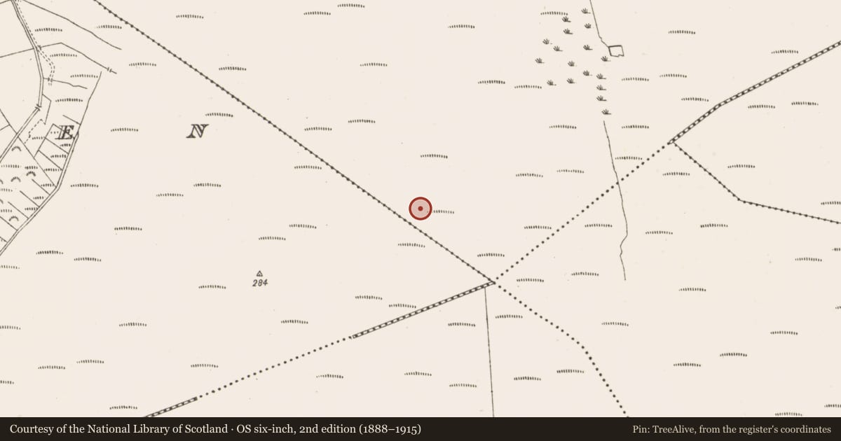
The record
- Townland
- Moydrum Or Bogstown
- County
- Meath
- Country
- Ireland
- First-edition OS map
- Not indicated
- Latest-edition OS map
- Not indicated
- Coordinates
- 53.43735, -7.10298
- SMR number
- ME046-085----
Slide toward Today to fade the historical sheet and see the modern map underneath.
David Rumsey Map Collection, Stanford LibrariesDavid Rumsey Map Collection, Stanford LibrariesDavid Rumsey Map Collection, Stanford LibrariesDavid Rumsey Map Collection, Stanford Libraries
4 historical maps cover this location, the earliest the 1790 map "Composite: Ireland." (David Rumsey Map Collection, Stanford Libraries).
Historical maps covering this location
- 1790 · Composite: Ireland. (David Rumsey Map Collection, Stanford Libraries)
- 1799 · Ireland. (David Rumsey Map Collection, Stanford Libraries)
- 1869 · Ireland. (David Rumsey Map Collection, Stanford Libraries)
- 1891 · Ireland 16 (David Rumsey Map Collection, Stanford Libraries)
This record in the National Monuments Service's Historic Environment Viewer ↗
The National Monuments Service's description
Human remains were discovered in Rossan Bog in 2014. In March an arm bone discovered in a pile of milled peat (ITM 659485,743718; NMI reg. no. 2014:74) and in September the lower leg and foot bones of an adult were found at this location (NMI reg. no. 2014:262). It is possible that both of these finds are connected, and represent the same individual, but is impossible to determine at this point in time (pers. comm. Maeve Sikora, National Museum of Ireland, 21 November 2014). The remains of another body dating to the Bronze Age had been discovered in this bog in 2012 (ME046-084----): it was radiocarbon dated to between 700 and 400 BC.
Compiled by: Paul Walsh
Date of upload: 21 November 2014
Nearby in the register
- Structure - peatlandunder 1 mi
- Structure - peatlandunder 1 mi
- Structure - peatlandunder 1 mi
- Road - class 3 togherunder 1 mi
Other entries of the same register within about three miles of this one, by straight line.