Sites and Monuments Record · Ireland
Structure - peatland
Moydrum Or Bogstown, County Meath, Ireland
The record
- Townland
- Moydrum Or Bogstown
- County
- Meath
- Country
- Ireland
- First-edition OS map
- Not indicated
- Latest-edition OS map
- Not indicated
- Coordinates
- 53.43204, -7.09030
- SMR number
- ME046-072----
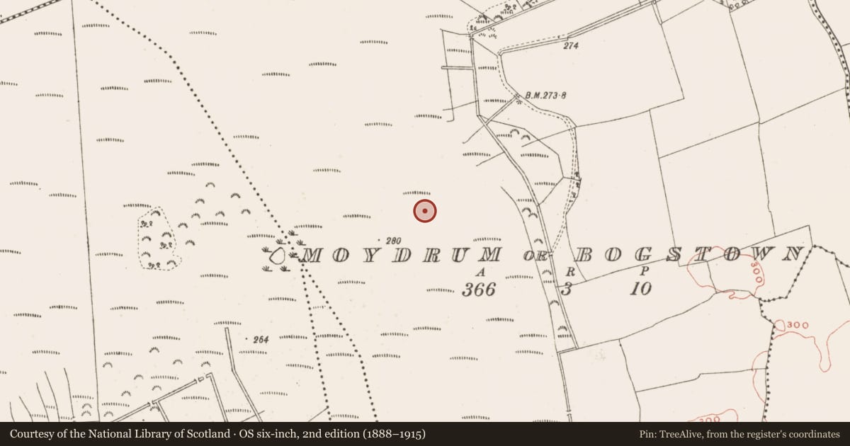
Slide toward Today to fade the historical sheet and see the modern map underneath.
David Rumsey Map Collection, Stanford LibrariesDavid Rumsey Map Collection, Stanford LibrariesDavid Rumsey Map Collection, Stanford LibrariesDavid Rumsey Map Collection, Stanford Libraries
4 historical maps cover this location, the earliest the 1790 map "Composite: Ireland." (David Rumsey Map Collection, Stanford Libraries).
Historical maps covering this location
- 1790 · Composite: Ireland. (David Rumsey Map Collection, Stanford Libraries)
- 1799 · Ireland. (David Rumsey Map Collection, Stanford Libraries)
- 1869 · Ireland. (David Rumsey Map Collection, Stanford Libraries)
- 1891 · Ireland 16 (David Rumsey Map Collection, Stanford Libraries)
This record in the National Monuments Service's Historic Environment Viewer ↗
The National Monuments Service's description
A single roundwood exposed on the field surface and situated in sticky pool peat within an overall raised bog context. The roundwood measured 1.18m long and 0.07m in diameter and was sampled for radiocarbon dating and wood species analysis. (Bermingham 2014)
Compiled by: David O’Connor
Date of upload: 21 November 2014
References
Bermingham, N. 2014 Archaeological Survev of Ireland. Peatland Survey 2013: Kinnegad (Rossan), Co. Meath. Final Archaeological Survey Report, August 2014 (Licence number 13E0426). Unpublished report commissioned by the National Monuments Service.
Nearby in the register
- Road - class 2 togherunder 1 mi
- Structure - peatlandunder 1 mi
- Road - class 2 togherunder 1 mi
- Structure - peatlandunder 1 mi
Other entries of the same register within about three miles of this one, by straight line.