Sites and Monuments Record · Ireland
Kiln
Killegland, County Meath, Ireland
The record
- Townland
- Killegland
- County
- Meath
- Country
- Ireland
- First-edition OS map
- Not indicated
- Latest-edition OS map
- Not indicated
- Coordinates
- 53.50871, -6.41088
- SMR number
- ME045-074001-
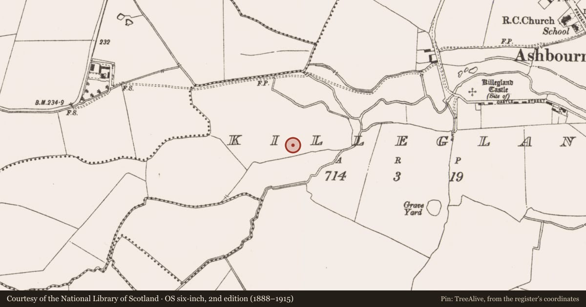
Slide toward Today to fade the historical sheet and see the modern map underneath.
David Rumsey Map Collection, Stanford LibrariesDavid Rumsey Map Collection, Stanford LibrariesDavid Rumsey Map Collection, Stanford LibrariesDavid Rumsey Map Collection, Stanford Libraries
4 historical maps cover this location, the earliest the 1790 map "Composite: Ireland." (David Rumsey Map Collection, Stanford Libraries).
Historical maps covering this location
- 1790 · Composite: Ireland. (David Rumsey Map Collection, Stanford Libraries)
- 1799 · Ireland. (David Rumsey Map Collection, Stanford Libraries)
- 1811 · Ireland. (David Rumsey Map Collection, Stanford Libraries)
- 1891 · Ireland 16 (David Rumsey Map Collection, Stanford Libraries)
This record in the National Monuments Service's Historic Environment Viewer ↗
The National Monuments Service's description
Situated on a fairly level landscape. Archaeological testing (05E1321) by S. Halliday (2007) identified archaeological features (excavations.ie 2006:1496) that were further excavated (06E0782) by the same archaeologist when parts of a circular and a subrectangular enclosure were recorded (excavations.ie 2006:1498). Six kilns were also excavated in this area, within the enclosures and outside them. They were usually of figure-of eight type, appearing as oval features (dims 2.1-4.1m x 0.84-1.48m; D 0.13-0.35m) with distinct bowls and shallower flues and had fire-reddened bases. Their particular use is not yet determined and their relationships with the enclosures are uncertain, but in at least one case the flue of a kiln cuts the outer edge of the fosse of the circular enclosure. (Halliday 2008, 21-23)
Compiled by: Michael Moore
Date of upload: 22 December 2021
References
Halliday, S. 2008 Preliminary Archaeological Excavation Report. Road 3, Killegland, Ashbourne, Co. Meath. Licence: 06E0782. Unpublished report, Arch-Tech
Nearby in the register
- Ringfort - rathunder 1 mi
- Ring-ditchunder 1 mi
- Ring-ditchunder 1 mi
- Ring-ditchunder 1 mi
Other entries of the same register within about three miles of this one, by straight line.