Sites and Monuments Record · Ireland
Kiln - corn-drying
Summerhill Demesne, County Meath, Ireland
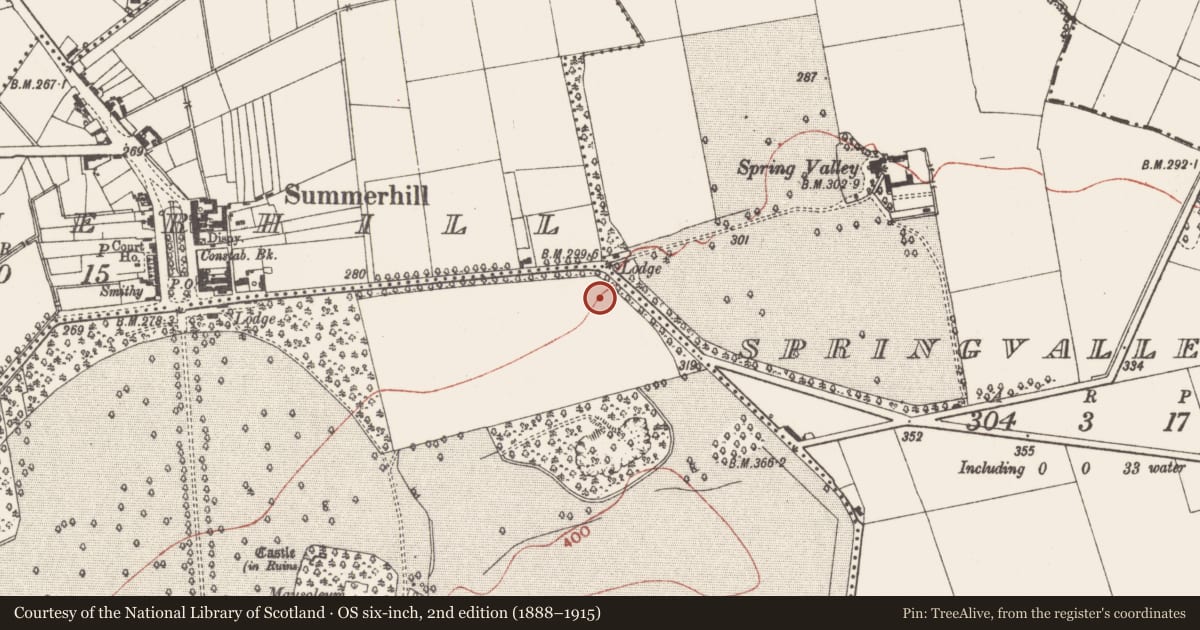
The record
- Townland
- Summerhill Demesne
- County
- Meath
- Country
- Ireland
- First-edition OS map
- Not indicated
- Latest-edition OS map
- Not indicated
- Coordinates
- 53.48034, -6.72281
- SMR number
- ME043-059001-
Slide toward Today to fade the historical sheet and see the modern map underneath.
David Rumsey Map Collection, Stanford LibrariesDavid Rumsey Map Collection, Stanford LibrariesDavid Rumsey Map Collection, Stanford LibrariesDavid Rumsey Map Collection, Stanford Libraries
4 historical maps cover this location, the earliest the 1790 map "Composite: Ireland." (David Rumsey Map Collection, Stanford Libraries).
Historical maps covering this location
- 1790 · Composite: Ireland. (David Rumsey Map Collection, Stanford Libraries)
- 1799 · Ireland. (David Rumsey Map Collection, Stanford Libraries)
- 1830 · V.3:11-15:XV. Britisches Reich. C. Kon: Ireland. a. Prov: Leinster. Counties: 1-12 (David Rumsey Map Collection, Stanford Libraries)
- 1891 · Ireland 16 (David Rumsey Map Collection, Stanford Libraries)
This record in the National Monuments Service's Historic Environment Viewer ↗
The National Monuments Service's description
There is a cereal drying kiln inside the SE angle of the rectangular enclosure (ME043-045----) evident as an oval feature (dims 4.86m N-S; 0.85-1.62m E-W), and it may have had a stone-lined flue. Its clay-lined base was fire-reddened and it was filled with four layers of silt which yielded carbonised cereal remains that produced a C14 date of 690-890 cal. AD. The kiln was disturbed by a tree-bole but it may have been dumb-bell shaped with the drying chamber at the higher S end. (Collins 2009, 27-8)
Compiled by: Michael Moore
Date of upload: 29 June 2021
Nearby in the register
- Enclosureunder 1 mi
- Metalworking siteunder 1 mi
- Ring-ditchunder 1 mi
- Castle - tower houseunder 1 mi
Other entries of the same register within about three miles of this one, by straight line.