Sites and Monuments Record · Ireland
Road - road/trackway
Trevet, County Meath, Ireland
The record
- Townland
- Trevet
- County
- Meath
- Country
- Ireland
- First-edition OS map
- Not indicated
- Latest-edition OS map
- Not indicated
- Coordinates
- 53.55133, -6.55524
- SMR number
- ME038-067001-
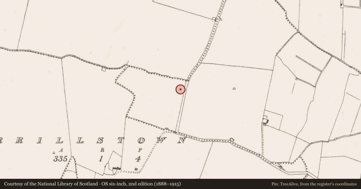
Slide toward Today to fade the historical sheet and see the modern map underneath.
David Rumsey Map Collection, Stanford LibrariesDavid Rumsey Map Collection, Stanford LibrariesDavid Rumsey Map Collection, Stanford LibrariesDavid Rumsey Map Collection, Stanford Libraries
4 historical maps cover this location, the earliest the 1799 map "Ireland." (David Rumsey Map Collection, Stanford Libraries).
Historical maps covering this location
- 1799 · Ireland. (David Rumsey Map Collection, Stanford Libraries)
- 1811 · Ireland. (David Rumsey Map Collection, Stanford Libraries)
- 1830 · V.3:11-15:XV. Britisches Reich. C. Kon: Ireland. a. Prov: Leinster. Counties: 1-12 (David Rumsey Map Collection, Stanford Libraries)
- 1891 · Ireland 16 (David Rumsey Map Collection, Stanford Libraries)
This record in the National Monuments Service's Historic Environment Viewer ↗
The National Monuments Service's description
Located on a shelf excavated into a gentle SW-facing slope. Archaeological testing (04E0418) by J. Dempsey of Testing Area 4, Contract 2, prior to the construction of the M3 motorway identified a cobbled surface (Dempsey 2004, 22-3). The area was excavated (E003067) intermittently by S. Rathbone as Trevet 1 (excavations.ie 2006:1646) between November 2005 and December 2006 when a section of road leading to buildings in a cobbled area were recorded. There was also evidence of a prehistoric burnt mound at the N edge of the excavated area.
The cobbled road (Wth c. 5m) ran W-E (L 20m plus) and was accompanied by a ditch (Wth 2m; D 0.6m; L 30m) on the S side that turned S at its W end and accompanied a modern N-S road bank, c. 1m E of it. The cobbles of the W-E road extended over the N edge of the ditch and across its base. The N edge of the road was less well defined, and a thinner cobbling extended N (c. 6.5m) from it. A small outbuilding, evident as two stretches of wall, may have been at the NW edge of this thinner cobbling. (Rathbone 2009, 4)
Compiled by: Michael Moore
Date of upload: 20 April 2022
References
Dempsey, J. 2004 M3 Clonee - North of Kells, Contract 2 Dunshaughlin - Navan. Report on the Archaeological Assessment at Testing Area 4, Clowanstown, Co. Meath. Licence: 04E0418. Unpublished report, Archaeological Consultancy Services
Rathbone, S. 2009 M3 Clonee - North of Kells, Contract 2 Dunshaughlin - Navan. Final Report on the Archaeological Excavation of Trevet 1, Co. Meath. Licence: E003067. Unpublished report, Archaeological Consultancy Services
Nearby in the register
- Buildingunder 1 mi
- Burnt moundunder 1 mi
- Hearthunder 1 mi
- Hearthunder 1 mi
Other entries of the same register within about three miles of this one, by straight line.