Sites and Monuments Record · Ireland
Burnt mound
Clowanstown (Skreen By., Skreen ED.), County Meath, Ireland
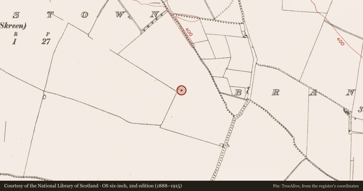
The record
- Townland
- Clowanstown (Skreen By., Skreen ED.)
- County
- Meath
- Country
- Ireland
- First-edition OS map
- Not indicated
- Latest-edition OS map
- Not indicated
- Coordinates
- 53.55664, -6.55568
- SMR number
- ME038-065001-
Slide toward Today to fade the historical sheet and see the modern map underneath.
David Rumsey Map Collection, Stanford LibrariesDavid Rumsey Map Collection, Stanford LibrariesDavid Rumsey Map Collection, Stanford LibrariesDavid Rumsey Map Collection, Stanford Libraries
4 historical maps cover this location, the earliest the 1799 map "Ireland." (David Rumsey Map Collection, Stanford Libraries).
Historical maps covering this location
- 1799 · Ireland. (David Rumsey Map Collection, Stanford Libraries)
- 1811 · Ireland. (David Rumsey Map Collection, Stanford Libraries)
- 1830 · V.3:11-15:XV. Britisches Reich. C. Kon: Ireland. a. Prov: Leinster. Counties: 1-12 (David Rumsey Map Collection, Stanford Libraries)
- 1891 · Ireland 16 (David Rumsey Map Collection, Stanford Libraries)
This record in the National Monuments Service's Historic Environment Viewer ↗
The National Monuments Service's description
Located on a slight N-facing slope. Archaeological testing (04E0418) by J. Dempsey of Testing Area 4, Contract 2, prior to the construction of the M3 motorway identified three spreads of burnt mound material. The area was fully excavated (E003065) by M. Mossop as Clowanstown 2 (excavations.ie 2006:1534) in August- September 2006 when it proved to be two burnt mound spreads and a fulacht fia.
In Area A, burnt mound material (dims 4.5m x 3m; T 0.1m) consisting of a soft black, charcoal-stained clay/silt with some burnt sandstone was incorporated a tree-bole (D c. 0.25m). The spread was just N of an oval pit (dims 1.95m x 0.81m; D 0.31m) filled by a peaty clay with charcoal inclusions over a grey clay. The charcoal was dominated by hazel, but a sample of ash charcoal produced a C14 date of 2457-2026 cal. BC (BETA 241290). Five medieval or post-medieval furrows were W of the mound, and a flint blade was recovered from the topsoil. (Mossop and Ruddle 2008, 2-3)
Compiled by: Michael Moore
Date of upload: 20 April, 2022
References
Dempsey, J. 2004 M3 Clonee - North of Kells, Contract 2 Dunshaughlin - Navan. Report on the Archaeological Assessment at Testing Area 4, Clowanstown, Co. Meath. Licence: 04E0418. Unpublished report, Archaeological Consultancy Services
Mossop, M. & Ruddle, E. 2008 M3 Clonee - North of Kells, Contract 2 Dunshaughlin - Navan. Final Report on the Archaeological Excavation of Clowanstown 2, Co. Meath. Licence: E003065. Unpublished report, Archaeological Consultancy Services
Nearby in the register
- Burnt moundunder 1 mi
- Fulacht fiaunder 1 mi
- Hearthunder 1 mi
- Hearthunder 1 mi
Other entries of the same register within about three miles of this one, by straight line.